
A major piece of Earth’s energy system is now visible.
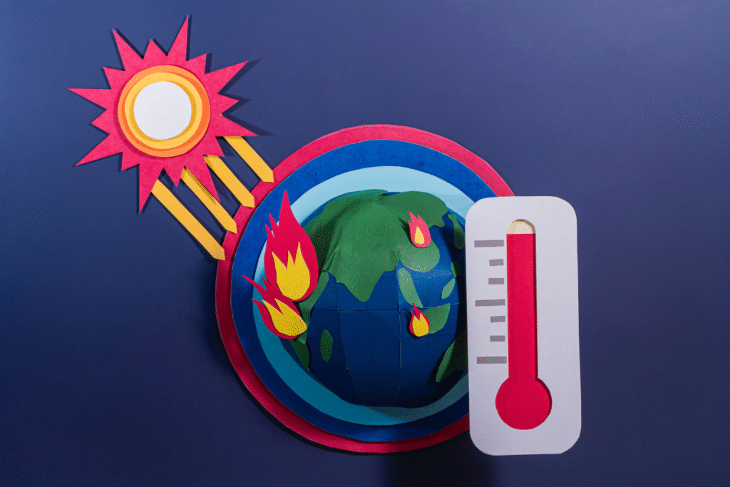
For decades, scientists have known that a large portion of Earth’s heat was escaping into space in ways they could not fully measure. That gap has limited how accurately climate systems could be understood and predicted. Now, new satellite data is beginning to reveal how that hidden heat moves, especially in regions that play a key role in regulating global temperature. These early observations are giving researchers a clearer picture of how energy leaves the planet and how different conditions affect that process. What is being uncovered could improve forecasts and change how future climate behavior is modeled.
1. Earth’s Heat Is Escaping in Ways Scientists Are Only Now Seeing

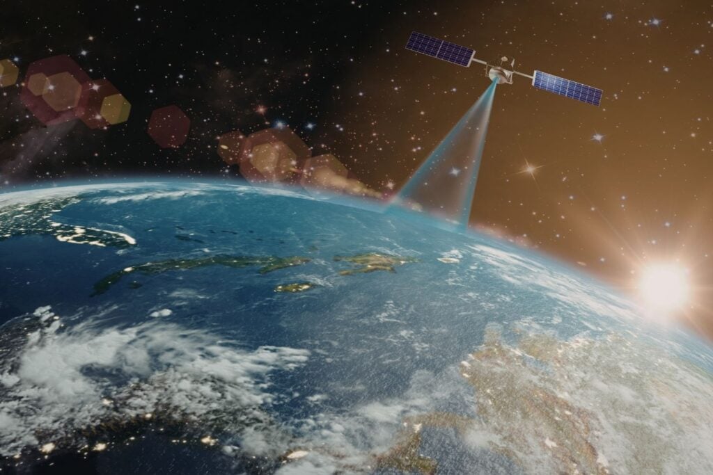
The far-infrared radiation that carries most of our planet’s heat into space is finally becoming visible to climate scientists through instruments sensitive enough to measure it systematically. According to NASA’s Jet Propulsion Laboratory, the PREFIRE satellites are currently detecting 10 times more far-infrared wavelengths than any previous instrument, revealing this crucial but hidden part of Earth’s energy budget in real time. These wavelengths carry the thermal energy that Earth radiates back to space after absorbing solar energy, but climate models have been essentially blind to this process until now.
Without this data, climate scientists have been making educated guesses about how efficiently our planet sheds heat, creating uncertainties that can mean the difference between predicting 5 or 10 degrees of warming in future scenarios. Researchers are finally seeing the complete picture of how Earth balances incoming solar energy against outgoing thermal radiation, filling a gap that has frustrated climate modelers for decades.
2. Two Tiny Satellites Overhead Are Changing What We Know.

Each PREFIRE satellite measures just the size of a shoebox, yet they’re equipped with advanced spectrometers that are detecting heat signatures invisible to much larger and more expensive instruments. The satellites are currently beaming down data from their orbits around Earth, having launched earlier this year aboard Rocket Lab’s Electron rockets from New Zealand, as reported by NASA’s Earth Science Division. These miniature spacecraft represent a new era of climate monitoring where small, specialized satellites are answering precise scientific questions that larger “generalist” satellites miss completely.
Both satellites are collecting data right now, and the results are immediately changing how scientists understand polar heat emissions. Their compact size and relatively low cost mean NASA can deploy targeted missions like this to fill specific knowledge gaps without the decade-long development cycles and billion-dollar budgets typically required for major Earth observation satellites.
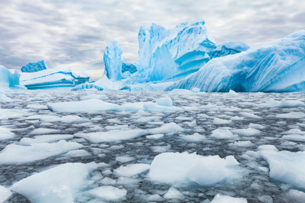
3. The Arctic and Antarctic May Be Regulating Heat We Don’t Fully See.
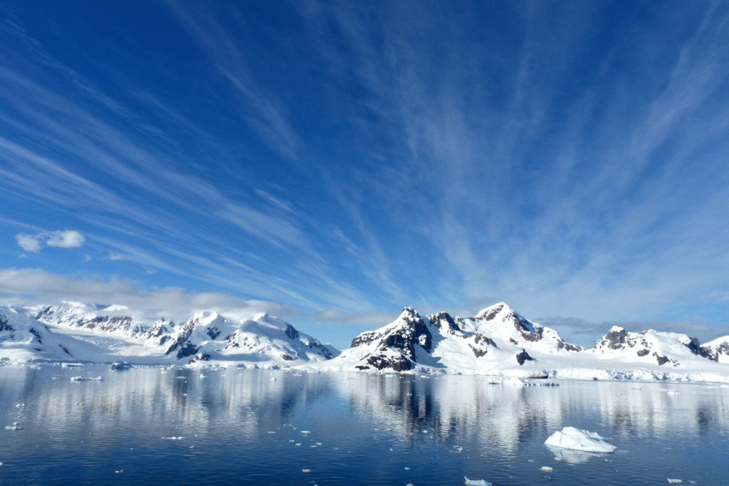
Earth’s energy system operates through a massive heat transport network where the tropics absorb most of the sun’s energy, then weather patterns and ocean currents are carrying that heat toward the poles for release into space. As discovered by University of Wisconsin climate researchers, this temperature difference between equatorial heat absorption and polar heat radiation drives the dynamic systems that are creating our weather and climate patterns today. The polar regions are essentially functioning as Earth’s cooling system, radiating away the excess energy that would otherwise make our planet uninhabitably hot.
Understanding exactly how efficiently the poles are releasing this heat is crucial for predicting how climate change will unfold, since any disruption to this cooling process affects global temperatures and weather patterns. The PREFIRE data is revealing that different types of ice, clouds, and atmospheric conditions at the poles are changing heat emission rates by as much as 5%, a seemingly small difference that’s having enormous implications for global climate stability.
4. Different Types of Ice Are Emitting Heat at Uneven Rates.
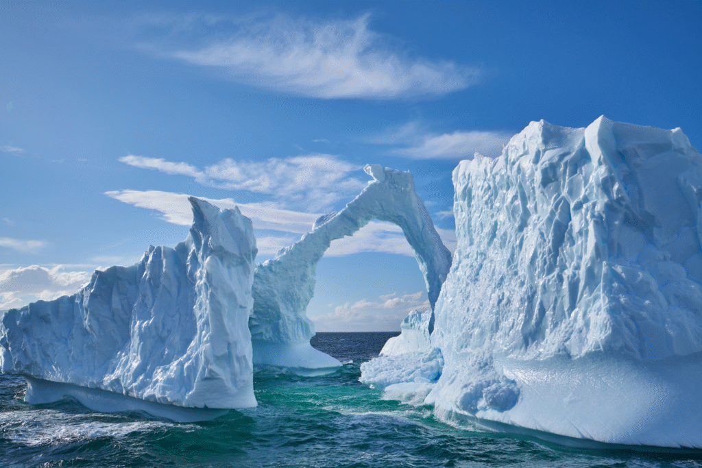
The PREFIRE satellites are discovering that various ice surfaces aren’t all radiating heat equally, with emission differences of up to 5% between different ice types happening at this moment. This finding is challenging assumptions climate modelers have been using about polar heat radiation, since they’ve been treating ice as having uniform thermal properties regardless of its age, thickness, or formation process.
Sea ice, glacial ice, and snow-covered surfaces are each producing distinct far-infrared signatures that are affecting how much heat escapes to space from polar regions today. These variations might seem minor, but in climate science, small differences in energy balance are triggering cascading effects that influence weather patterns, ice formation, and global temperature regulation across the entire planet.
5. Polar Clouds Are Acting Like Windows for Earth’s Escaping Heat.

Arctic and Antarctic clouds are creating a complex system where clear, dry conditions allow heat to escape freely while cloudy, humid weather traps thermal radiation near Earth’s surface. Low-altitude clouds composed mainly of water droplets tend to have a cooling effect by reflecting sunlight, while high-altitude ice crystal clouds are absorbing and re-emitting heat, creating a warming effect that’s compounding global temperature rise.
Mid-altitude clouds present the most complex challenge because they contain varying mixtures of water droplets and ice particles, making their thermal effects difficult to predict without detailed measurements. The PREFIRE instruments are distinguishing between liquid droplets and ice particles in clouds right now, providing scientists with unprecedented insight into which cloud types are helping Earth cool down and which ones are trapping heat that would otherwise escape to space.
6. Weather Forecasting May Be Improving With Data We Didn’t Have Before.

The heat flow patterns PREFIRE is measuring are directly influencing how storms form, where precipitation develops, and how severe weather systems evolve across the globe at this moment. Moisture circulation, storm intensity, and precipitation patterns all depend on the energy exchanges happening at Earth’s poles, yet weather models have been operating without complete information about these crucial processes.
Scientists are incorporating PREFIRE data into weather prediction models right now, leading to more accurate forecasts of storm frequency, severity, and movement patterns. Climate researchers are particularly excited about using this information to better predict extreme weather events, since the polar heat emissions that PREFIRE measures are helping drive the atmospheric dynamics that create hurricanes, heat waves, floods, and other weather disasters.
7. Climate Models May Be Changing Based on New Heat Data.
For decades, climate scientists have had to make assumptions about polar heat radiation because they lacked actual measurements of far-infrared emissions. These assumptions have created uncertainties in climate projections that can lead to dramatically different predictions about future warming, ice loss, and sea level rise depending on which estimates modelers choose to use.
PREFIRE data is showing that some long-held assumptions about polar heat emission are incorrect, forcing researchers to reconsider how they model Earth’s energy balance. As more data accumulates from the mission, climate models are undergoing significant updates that are changing projections for ice sheet melting, Arctic warming, and global temperature rise over the coming decades.
8. The mission is expanding from polar focus to global heat monitoring.

Originally designed to study just the Arctic and Antarctic, the PREFIRE mission is proving so valuable that NASA is extending it through 2026 and broadening its scope to monitor heat emissions from the entire planet. This expansion is allowing scientists to compare polar heat radiation patterns with those from other regions, providing a complete picture of how Earth sheds thermal energy.
Global coverage is enabling researchers to study how tropical heat absorption compares with polar heat emission on a planetary scale, revealing the full energy transport system that maintains Earth’s temperature balance. The satellites are also monitoring how seasonal changes, volcanic eruptions, major storms, and other events are affecting heat radiation patterns worldwide.
9. Ice sheet melting predictions are becoming much more accurate.
Current projections for Greenland and Antarctic ice loss rely heavily on surface temperature models, but the PREFIRE data is revealing how efficiently different ice conditions radiate heat back to space. Understanding these thermal properties is helping scientists predict more precisely how quickly ice sheets will respond to changing atmospheric and ocean temperatures.
The far-infrared measurements are showing exactly how much heat different ice formations absorb versus reflect, providing crucial information for calculating melting rates under various warming scenarios. This data is significantly improving sea level rise projections by giving scientists better tools for modeling how ice sheets will behave as global temperatures continue increasing.
10. Storm prediction is improving.

The temperature differences between tropical heat absorption and polar heat radiation are helping drive the atmospheric circulation patterns that are creating storms, hurricanes, and other extreme weather events at this moment. PREFIRE’s measurements of actual polar heat emissions are providing missing pieces of the energy puzzle that influences where storms form and how intense they become.
Extreme weather events from flooding to coastal erosion are being influenced by what’s happening in the Arctic and Antarctic right now, making polar heat radiation data valuable for predicting weather disasters worldwide. As scientists incorporate this new information into forecasting models, communities are getting better advance warnings about severe weather events, potentially saving lives and reducing property damage from storms whose intensity and behavior are governed by the global energy flows PREFIRE is revealing.