
Forecasters warn of unprecedented storm activity ahead.
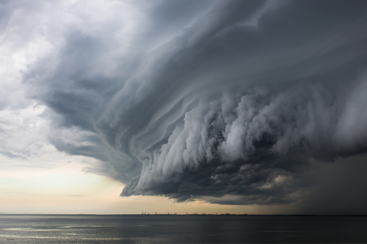
Atlantic hurricane season predictions have taken a dramatic turn as meteorologists scramble to update their models with increasingly concerning data. The combination of record-breaking ocean temperatures and shifting atmospheric patterns has created conditions that experts describe as alarmingly favorable for storm development. Scientists monitoring these systems are finding themselves revisiting decades-old assumptions about seasonal forecasting. What initially appeared to be a moderately active season has transformed into something far more threatening. Coastal communities from the Caribbean to the Eastern Seaboard are being urged to prepare for what could become one of the most turbulent hurricane seasons in recent memory.
1. Ocean temperatures have reached their highest levels ever.

Sea surface temperatures across the Atlantic basin are shattering previous records, with some regions experiencing readings nearly three degrees Fahrenheit above historical averages. These extraordinarily warm waters act as fuel for tropical systems, providing the energy necessary for storms to intensify rapidly and maintain their strength over longer periods. According to the National Oceanic and Atmospheric Administration, measurements taken in early 2025 revealed unprecedented heat content throughout the tropical Atlantic, particularly in areas known as “hurricane alleyways” where storms typically develop and strengthen. This thermal energy doesn’t just create more storms but transforms moderate systems into major hurricanes with frightening speed. The warmth extends deep beneath the surface, meaning storms won’t weaken as quickly when they churn up cooler water from below, a natural brake that has historically limited hurricane intensity.
2. Wind patterns are behaving in unexpected ways now.
Traditional wind shear patterns that typically suppress hurricane formation have weakened considerably this year, removing one of nature’s primary defenses against runaway storm development. High-altitude winds usually tear apart developing tropical systems before they can organize into dangerous hurricanes, but current atmospheric conditions show these protective winds operating at unusually low strength. The pattern represents a significant departure from normal seasonal behavior, as stated by researchers at Colorado State University’s Tropical Meteorology Project in their April 2025 seasonal outlook. Meteorologists have observed that the subtropical jet stream has shifted northward, creating a corridor of calm upper-level winds precisely where hurricanes need disruption most. This atmospheric configuration mirrors conditions seen during some of the most devastating hurricane seasons on record, though the current setup appears even more conducive to storm development.
3. Early season storms are forming weeks ahead of schedule.

Tropical development typically ramps up gradually through summer, but this year has already produced named storms during periods when the ocean should still be too cool for significant activity. Forecasters documented the formation of Tropical Storm Adrian in late April 2025, marking the earliest “A” storm on record for the Atlantic basin, reported by the National Hurricane Center. Historical patterns suggest June as the traditional start of meaningful tropical activity, yet we’re seeing organized systems spinning up while spring flowers still bloom across much of North America. The premature activity signals that atmospheric and oceanic conditions have aligned earlier than any computer model predicted. Each early storm depletes letter designations from the naming list at an accelerated pace, raising the likelihood that forecasters will exhaust the alphabet and move into supplemental naming protocols before autumn arrives.
4. Computer models show agreement on increased activity patterns.
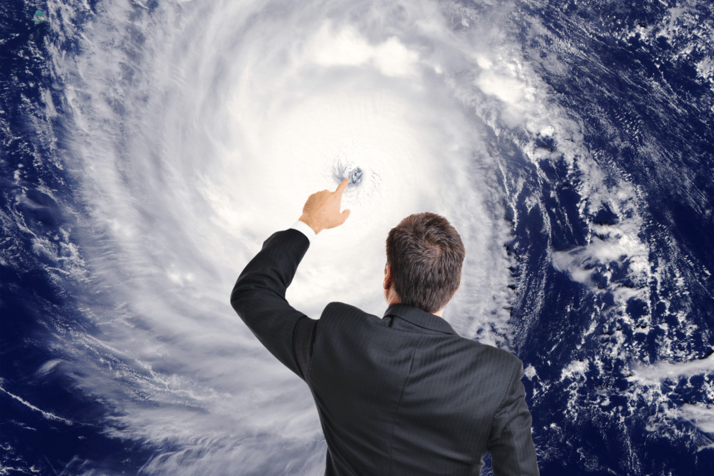
Nearly every major forecasting system, from European to American models, is converging on predictions of above-normal hurricane activity throughout the season. This consensus among typically divergent modeling approaches adds weight to concerns that meteorologists aren’t simply observing random fluctuations. The models incorporate thousands of variables including sea temperatures, atmospheric pressure systems, rainfall patterns, and historical analogs to generate their predictions. When independent systems using different calculation methods reach similar conclusions, it suggests the underlying physical conditions are overwhelmingly favorable for storms. Forecasters are projecting anywhere from eighteen to twenty-five named storms, with potentially twelve reaching hurricane strength and six achieving major hurricane status with winds exceeding 111 miles per hour.
5. Caribbean islands face particularly elevated risk this year.

Island nations throughout the Caribbean basin find themselves in an especially vulnerable position as warm waters surround them from every direction. These territories have limited options for evacuation and often lack the infrastructure to withstand repeated major hurricane impacts within a single season. The elevated ocean temperatures mean storms can maintain or even strengthen their intensity while crossing over islands that would normally weaken them slightly. Previous seasons have demonstrated how quickly island communities can be overwhelmed when multiple storms strike in succession, depleting emergency resources and leaving populations exposed to subsequent threats. Tourism-dependent economies face catastrophic scenarios if major hurricanes force prolonged closures during peak travel months.
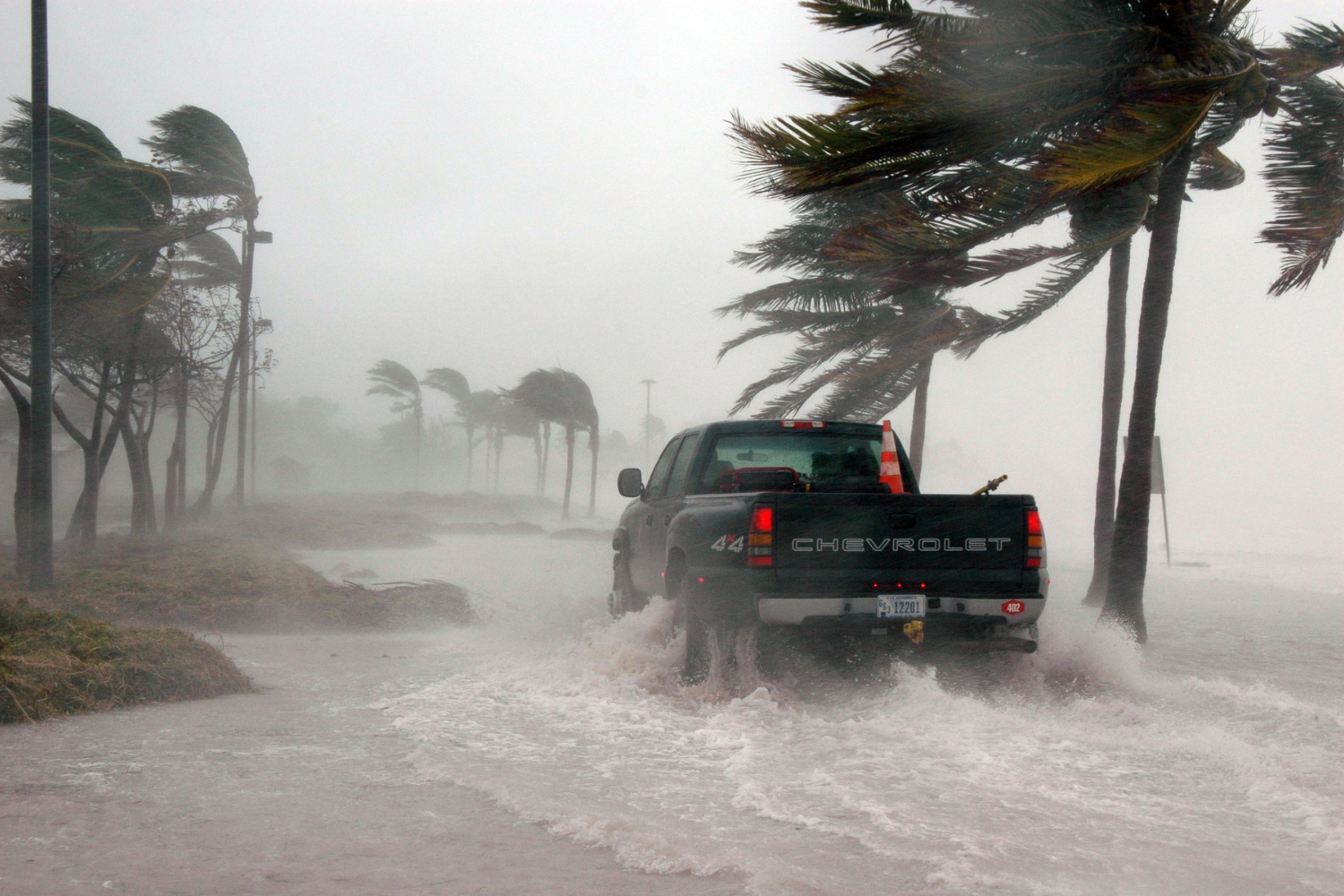
6. Rapid intensification events are becoming more common overall.
Hurricanes are increasingly exhibiting the ability to explode from minor storms to major threats within extraordinarily short timeframes, sometimes strengthening by 35 miles per hour or more within just twenty-four hours. This rapid intensification gives coastal communities minimal time to evacuate or prepare, fundamentally changing the emergency management calculus. Meteorologists attribute this phenomenon to the deep reservoir of warm water that storms can tap, combined with favorable atmospheric conditions that no longer disrupt developing systems. The trend means that a storm forecast as a Category 1 hurricane on Monday could potentially strike as a catastrophic Category 4 by Wednesday. Emergency managers find themselves caught between issuing early warnings that might prove unnecessary and waiting for certainty that arrives too late for effective evacuation.
7. Rainfall predictions suggest catastrophic flooding potential in multiple regions.

Beyond wind damage, the hydrological impacts of an active hurricane season pose severe threats as storms are expected to produce unprecedented rainfall totals. Warmer atmospheric temperatures allow air masses to hold more moisture, meaning each storm system can dump higher volumes of water across affected areas. Inland flooding has emerged as one of the deadliest hurricane hazards in recent decades, with many fatalities occurring far from coastlines as rivers overflow their banks days after storms pass. Urban areas with aging drainage infrastructure face particular vulnerability, as systems designed for historical rainfall maximums prove inadequate against modern storm intensities. Mountainous regions confronting these deluges will likely experience devastating mudslides and debris flows that can obliterate communities in minutes.
8. Insurance markets are responding with dramatic policy changes.
The property insurance industry is reacting to elevated storm forecasts by restricting coverage in high-risk zones and raising premiums to levels many homeowners find unaffordable. Several major carriers have already announced they will not renew policies in certain coastal counties, effectively abandoning entire markets they deem too risky. This insurance crisis compounds the physical threat from hurricanes by creating financial vulnerabilities that could devastate families even if storms spare their properties. Government-backed insurers of last resort are absorbing customers shed by private companies, but these public entities often lack sufficient capital to handle claims from multiple major hurricanes. The economic reverberations extend beyond homeowners to affect mortgage lending, property values, and local tax bases that fund emergency services.
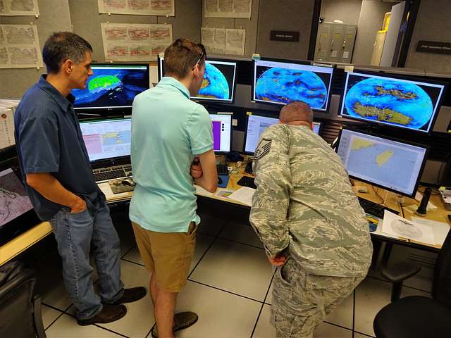
9. Emergency management agencies are implementing unprecedented preparation measures.

Governments at federal, state, and local levels are mobilizing resources months earlier than typical seasonal preparations would dictate. Pre-positioned supplies including water, food, generators, and medical equipment are being stockpiled in strategic locations across vulnerable regions. Emergency shelters are being inspected and certified earlier in the year, with officials coordinating capacity to handle potentially multiple simultaneous evacuation events. Communications systems are receiving upgrades to ensure they can withstand storm impacts and maintain connectivity when communities need information most urgently. These preparations represent significant financial investments made under considerable uncertainty, as officials balance the costs of readiness against the catastrophic consequences of being unprepared when predictions materialize into reality.
10. Climate scientists see disturbing long-term trajectory beyond this season.

While immediate concerns focus on the coming months, researchers studying broader climate patterns recognize that this season may represent not an anomaly but a glimpse of future norms. The oceanic and atmospheric conditions fueling current predictions are consistent with long-term warming trends that show no signs of reversing. Each successive year brings baseline conditions that would have been considered extreme outliers just decades ago, fundamentally resetting expectations about what constitutes normal hurricane activity. Scientists emphasize that the physics governing storm behavior will continue producing more intense hurricanes as thermal energy accumulates in ocean systems. Adaptation strategies that might have seemed excessive based on historical experience may prove insufficient against the storms of tomorrow, demanding a wholesale reimagining of how coastal communities exist alongside increasingly hostile climate conditions.