
Widespread alerts issued across nearly all coastal zones.

A powerful storm system in the Pacific is prompting sweeping warnings along the U.S. West Coast. The National Weather Service has issued advisories for high surf, hazardous seas, rip currents, and shoreline erosion stretching from Southern California up through Oregon and Washington. According to meteorologists, the threat stems from long-period ocean swells that built far offshore and are now heading toward land. As beaches, marinas, and coastal infrastructure brace, officials are urging residents and visitors alike to stay away from the shoreline and heed local closures.
1. High surf advisories span the entire western coastline.
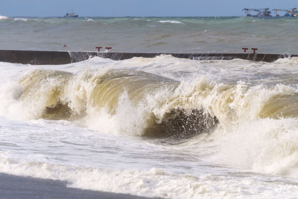
The coast from California to Washington is under a fusion of beach hazard statements, small craft advisories, and high surf alerts. As reported by Newsweek, these warnings now cover nearly every section of the Pacific shoreline. The reason lies in a strong westerly flow that has generated long-traveled swells ready to strike. With the threat zone so broad, local authorities are coordinating emergency messaging and reinforcing beach access restrictions to prevent accidents as the waves intensify.
2. Long-period swells built thousands of miles offshore.
Ocean buoy and satellite data show that these powerful swell trains were generated far out in the Pacific and are now reaching coastal areas. The National Weather Service confirmed that the waves have traveled thousands of miles before arriving on shore. The slow variation in swell interval raises the risk of sneaker waves and unexpected surges that can catch beachgoers off guard. The danger is not only during the biggest sets but also in deceptively calm moments when a sudden large wave can strike without warning, reported by the National Weather Service.
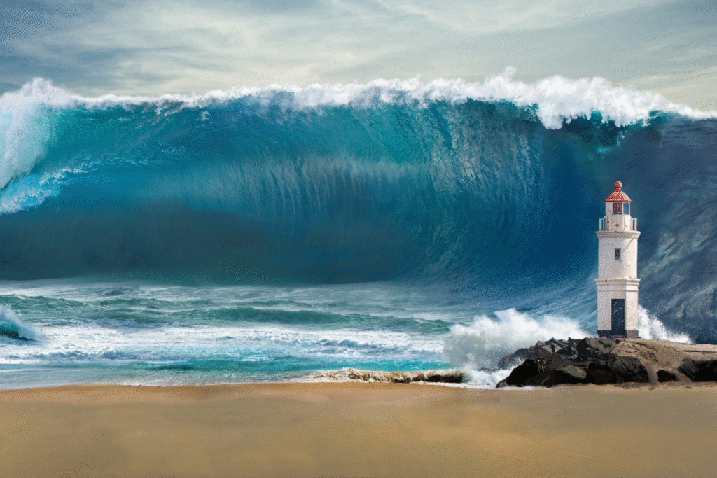
3. Rip currents and sneaker waves threaten even moderate beaches.
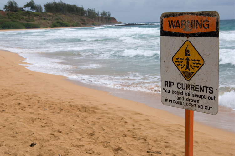
Coastal forecasters warn that what appears to be a calm day can change rapidly with sneaker waves and strong rip currents. As stated by Newsweek, waves between 12 and 17 feet, and up to 25 feet in certain zones, are expected along exposed beaches. Locations with rocky jetties, driftwood, or steep shorelines are particularly dangerous because wave energy concentrates there. Sneaker waves often surge much farther inland than expected, pulling people and debris back into deep water in seconds.
4. Oregon coast braces for major wave impacts and land-based hazards.

On the rugged Oregon coastline, narrow beaches and cliffs funnel wave energy upward, creating hazards for both tourists and residents. Areas such as Cannon Beach and North Head may experience swells exceeding 20 feet. Local emergency crews are monitoring for sudden flooding in low-lying areas near harbors and trails. Visitors are being urged to avoid shoreline viewpoints, as even elevated platforms can be overtaken by large waves.
5. Washington’s headlands face amplified wave energy this weekend.
In the Pacific Northwest, the state’s rocky coastlines amplify the storm’s impact. Beaches like La Push and Ocean Shores are already under hazardous sea warnings, with conditions expected to worsen through Sunday. Park rangers have restricted several coastal trails and observation areas due to the potential for powerful surges. Residents are being told to avoid driving near coastal roads that may experience wave overwash or debris.
6. Marine traffic and port operations feel the pressure of offshore conditions.
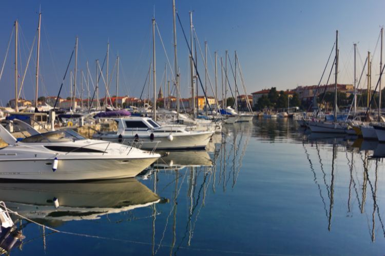
Commercial and fishing vessels along the Pacific Northwest are being warned to expect dangerous seas and shifting currents. Port authorities in Oregon and Washington have issued advisories for smaller boats to remain docked until conditions ease. The U.S. Coast Guard is monitoring coastal waters and ready to respond to emergency calls as the storm continues to drive large waves toward shore. Mariners are advised to check updated forecasts before traveling offshore.
7. Emergency services issue pre-emptive beach closures and rescue readiness.
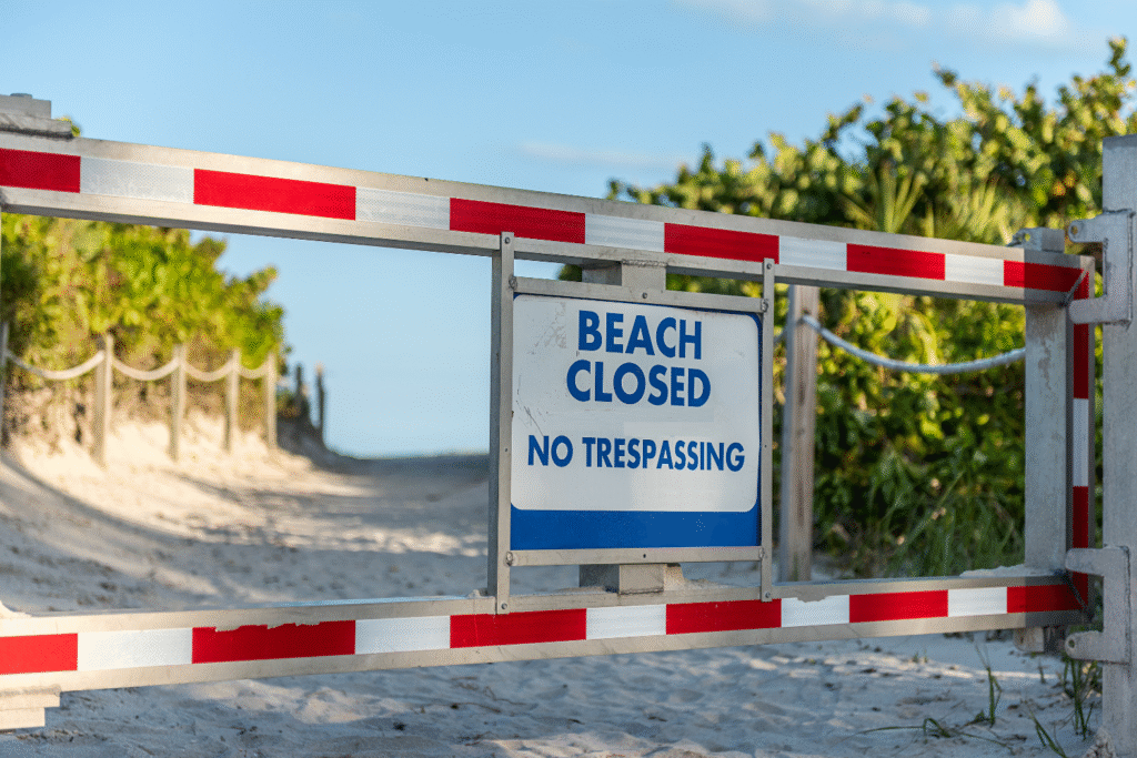
Lifeguard and fire departments across multiple coastal counties are deploying additional rescue staff. Helicopters, boats, and coastal patrol teams have been placed on alert for possible water emergencies. Officials emphasize that even professional swimmers can be overpowered by rip currents under these conditions. Beach access points have been closed in several counties as a preventive measure to protect the public while conditions remain unpredictable.
8. Residents urged to monitor official forecasts and alerts.

Authorities across the coastal states continue to emphasize that conditions can shift rapidly with ocean-driven weather systems. Residents are advised to follow local National Weather Service updates and avoid shoreline areas until advisories are lifted. While the storm is not expected to make landfall, the energy it carries through the ocean is powerful enough to cause harm. Staying informed, maintaining distance, and respecting beach closures are key as the Pacific storm continues to influence coastal conditions through Sunday night.
9. Southern California expected to remain largely unaffected.

The National Weather Service confirms that this Pacific storm will have limited effects on Southern California. Surf heights are expected to stay in the 1-to-3-foot range through the weekend, with no coastal flooding or erosion warnings in place. While minor ripple effects may reach Ventura and Santa Barbara by Sunday, forecasters do not anticipate dangerous surf or flooding conditions for beaches farther south. The most significant impacts remain concentrated in the northern half of the West Coast.