
A slow moving winter system is setting up a dangerous weekend.

AccuWeather meteorologists are actively tracking a major winter storm system expected to begin impacting the United States Friday and persist through Sunday. Forecasts show effects spreading across more than two dozen states, potentially placing up to 150 million people within reach. The concern is not just snow, but a prolonged window of freezing rain and ice caused by warm moisture riding over stubborn Arctic air. When storms linger like this, disruption compounds faster than forecasts alone can capture.
1. A rare atmospheric alignment is driving this threat.

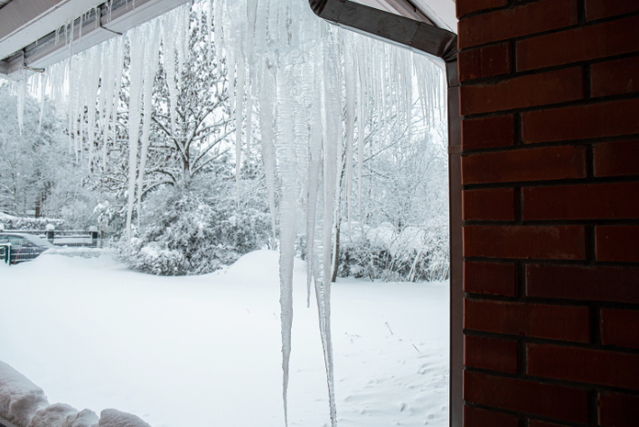
Weather models show a classic but dangerous setup unfolding, with Arctic air pressing south from Canada while Gulf moisture surges north. This overlap creates ideal conditions for freezing rain rather than snow.
Reports emphasize that surface temperatures hovering just below freezing are the most dangerous scenario. Rain falling through warmer air freezes instantly on contact, coating everything it touches. When this pattern stalls, damage escalates quickly, especially across regions unaccustomed to extended icing.
2. Timing from Friday through Sunday raises concern.

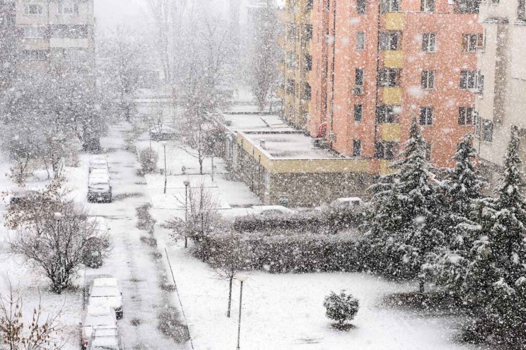
Unlike fast moving winter systems, this storm is expected to linger from late Friday into at least Sunday. Duration increases risk more than peak intensity alone.
Forecast discussions note that repeated rounds of precipitation may occur while cold air remains locked in place. That means roads, trees, and power lines may not get relief between waves. Each additional hour of icing increases strain and limits recovery opportunities.
3. Texas once again sits near the southern edge.
Northern and central Texas are forecast to experience freezing rain pushing farther south than average. Weather briefings highlight concern for metro corridors where even light ice causes major disruption.
Officials remember recent winters where short icing events led to widespread grid stress and travel paralysis. This time, the prolonged nature of the cold raises worry that impacts could accumulate before conditions improve.
4. Oklahoma and Arkansas face extended icing exposure.

Forecasts for Oklahoma and Arkansas emphasize persistence. Freezing rain may fall for hours rather than minutes, a key factor in infrastructure damage.
Meteorologists stress that ice load builds steadily. Tree limbs and lines tolerate only so much weight before failing. Long duration icing often results in scattered outages becoming widespread as systems reach their breaking point.
5. The Mississippi Valley enters a compounding zone.
As the storm shifts east, parts of the Mississippi Valley may see a mix of freezing rain, sleet, and snow arriving in stages. Each phase complicates response efforts.
Weather discussions highlight that road treatment effectiveness drops when precipitation type keeps changing. Crews may be forced to retreat and reapply repeatedly, while drivers encounter rapidly shifting conditions over short distances.
6. Tennessee Valley forecasts show rising ice probabilities.

Latest guidance places much of the Tennessee Valley within a narrow temperature margin. A slight drop could sharply increase freezing rain coverage.
This region’s dense tree canopy raises concern. Weather reports repeatedly mention tree damage as a primary outage driver. Even modest ice amounts can snap branches, blocking roads and delaying repairs across hilly terrain.
7. Georgia and the Carolinas sit on a knife edge.
Forecasts for Georgia and the Carolinas emphasize uncertainty. Small temperature changes will determine whether rain stays liquid or turns destructive.
Meteorologists warn that freezing rain in the Southeast often causes outsized impacts. Infrastructure is less winter hardened, and response resources are spread thin when ice spreads beyond expected zones.
8. The Mid Atlantic faces mixed hazard scenarios.

Washington, D.C., Baltimore, and surrounding areas are expected to see complex precipitation types. Freezing rain near the surface may precede snow inland.
Weather briefings stress timing challenges. Ice on bridges and elevated roads forms quickly and is difficult to treat. Decisions about closures must often be made before conditions visibly deteriorate.
9. Ohio Valley and Great Lakes cold lingers behind.

Behind the storm, forecasts show Arctic air remaining entrenched across the Ohio Valley and Great Lakes. Any ice or snow that falls may linger for days.
Meteorologists note that slow melting extends disruption. Roads remain slick, cleanup drags on, and supply chains feel pressure long after precipitation stops.
10. The Northeast may see ice before snow dominates.

Parts of Pennsylvania and New York are forecast to receive freezing rain or sleet before colder air fully arrives. That sequence increases hazard duration.
Weather discussions highlight how ice beneath snow complicates removal and travel. Crews face hardened surfaces that resist treatment, extending commuting and emergency response challenges.
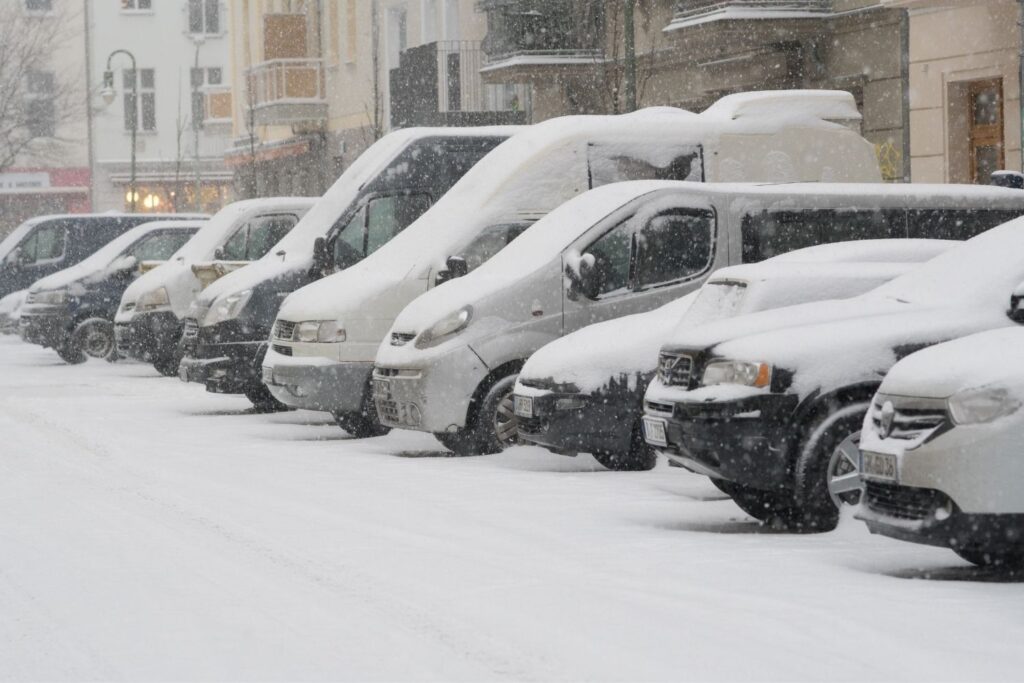
11. Travel and school systems prepare early.

Airports and school districts across the projected path are monitoring forecasts closely. Ice presents immediate safety concerns for aviation and buses.
Weather agencies note that early decisions help reduce risk, but also signal confidence that impacts may be widespread. Once major hubs slow, ripple effects spread nationwide.
12. Prolonged cold will slow recovery efforts.
After precipitation ends, Arctic temperatures are expected to remain in place. Meltwater may refreeze overnight, extending hazards.
Meteorologists emphasize that recovery often proves harder than the storm itself. Cold limits repair work, increases energy demand, and keeps conditions dangerous longer, reinforcing why this event is being watched so closely.