
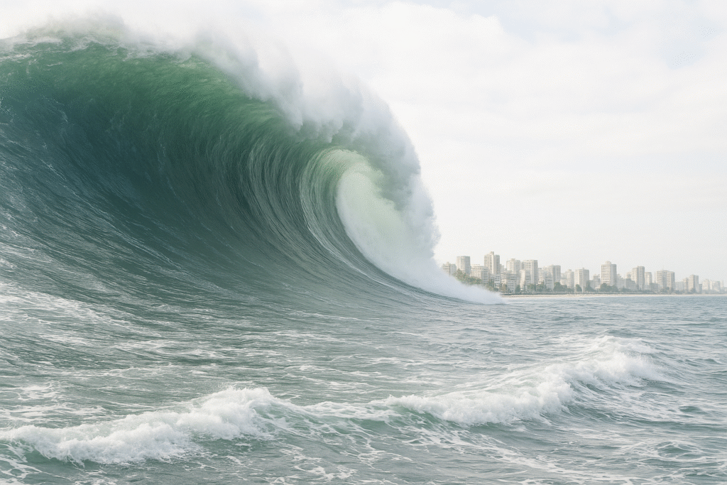
A record-breaking wave erased an entire landscape.

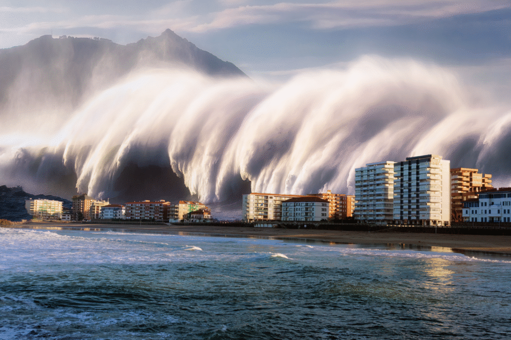
In 1958, deep within the remote wilds of Alaska, one of the most violent natural events ever recorded unfolded in seconds. A massive earthquake along the Fairweather Fault dislodged an enormous slab of rock that crashed into Lituya Bay, creating a wave taller than any skyscraper on Earth. That wave, estimated at 1,720 feet high, obliterated everything in its path—trees, soil, and even sections of mountain. The story sounds almost mythical, but it’s entirely true. Decades later, scientists continue to study this staggering event to understand how land, water, and gravity created the world’s tallest tsunami.
1. The massive quake on the Fairweather Fault unleashed chaos.
At 10:15 p.m. on July 9, 1958, a magnitude 7.8 earthquake shook the Fairweather Fault in southeast Alaska. The tremor caused about 40 million cubic yards of rock and ice to collapse into Lituya Bay. According to the U.S. Geological Survey’s Professional Paper 354-C, this sudden landslide displaced an enormous volume of water, generating a surge that immediately rocketed up the opposite slope. The seismic energy of that collapse remains one of the most powerful landslide-generated tsunamis ever studied, and its effects were felt hundreds of miles away across the Gulf of Alaska.
2. NASA confirmed the wave’s unbelievable 1,720-foot reach.

Post-event aerial surveys and later satellite mapping revealed that the wave blasted vegetation and soil up to an altitude of 1,720 feet—higher than New York’s Empire State Building. As reported by NASA’s Earth Observatory, the scars left on the mountainsides are still visible from space today, marking the event’s massive reach. The agency’s analysis showed how the geometry of Lituya Bay amplified the energy of the displaced water. By combining satellite topography with historical photos, NASA scientists verified that the force of the wave literally reshaped the bay’s landscape forever.
3. NOAA documented the destruction of boats and human loss.
The National Oceanic and Atmospheric Administration recorded that two fishing boats, the Edrie and the Badger, were anchored in the bay that night. Both were destroyed when the wave surged outward, killing five people and sweeping debris miles away. Survivors described being lifted hundreds of feet into the air before being hurled back into the sea. NOAA’s disaster archives classify this as the highest tsunami run-up in recorded history, a benchmark against which all future megatsunamis are measured. The human cost was small in number, but immense in meaning.
4. The forest’s scar told scientists the full story.
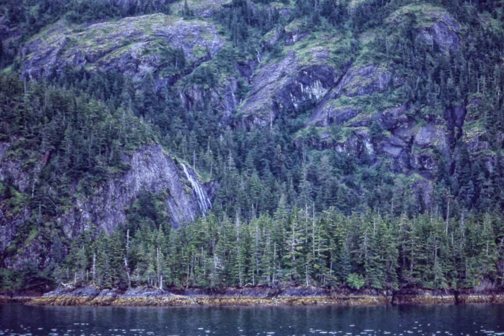
In the months following the event, researchers returned to the site and mapped a stark “trimline” on the surrounding mountains where the wave had stripped every tree and plant. The bare slopes formed a clean line thousands of feet above the bay’s surface. By counting tree rings, scientists confirmed that no vegetation older than 1958 remained above that mark. The forest became a living record of disaster, its growth patterns silently documenting the most extreme wall of water Earth has ever witnessed.
5. Lituya Bay’s shape turned disaster into catastrophe.
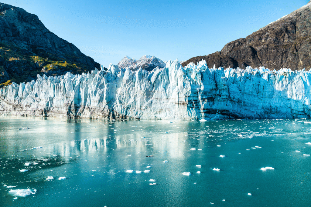
What made the event so intense wasn’t just the landslide, it was the bay itself. Lituya Bay is a long, narrow fjord with steep rock walls, shaped by glaciers over thousands of years. When the rockmass plunged into the head of the bay, the confined space left the wave nowhere to go but upward. The energy concentrated, funneled by the steep slopes, until it shot skyward like a liquid explosion. The very landscape that makes Lituya Bay beautiful is the same one that turned it into a natural amplifier of destruction.
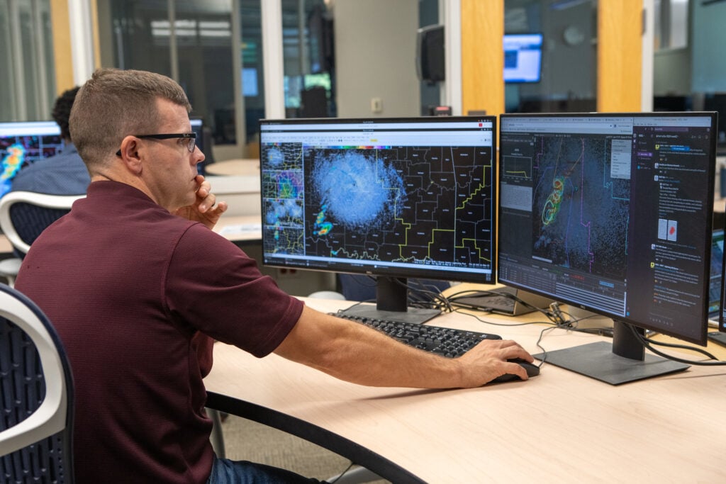
6. Scientists still study how the energy was released.

Recent simulations using supercomputers at the University of Alaska Fairbanks show that the landslide’s impact released an energy equivalent to more than 400 atomic bombs. The models also confirm that the rock and debris fell at nearly 100 miles per hour before striking the bay. This explains how the water climbed so high and why the wave lost so much power once it exited the narrow fjord. The study of Lituya Bay continues to refine tsunami science, shaping how we assess similar risks across the world’s glacial coasts.
7. Similar hazards exist across Alaska’s fjords.
The U.S. Geological Survey has identified over 500 potential landslide-tsunami sites along Alaska’s coast where retreating glaciers expose unstable slopes. One of the most closely monitored is Barry Arm, north of Whittier, where a similar rock mass looms above a popular boating route. Scientists worry that a collapse there could create a wave half the size of Lituya’s—still enough to devastate nearby ports. The parallels remind researchers that the 1958 event was not an anomaly, but part of a pattern tied to geology, ice melt, and time.
8. Survivors’ stories added human detail to the science.

Two survivors, Howard Ulrich and his 7-year-old son, described seeing “a wall of water” surging toward their boat before being carried hundreds of feet above the bay’s surface. Their firsthand accounts helped scientists reconstruct how the wave formed and moved. Their vessel, the Badger, was tossed clear over a sandbar before landing upright, a miracle in itself. Their testimony gave life to the data, turning numbers and diagrams into a story of endurance against impossible odds.
9. The event changed how tsunamis are categorized.
Before 1958, most scientists assumed that tsunamis came only from undersea earthquakes. The Lituya Bay event proved otherwise. Landslide-generated tsunamis can be taller but less far-reaching than tectonic ones. That realization changed disaster modeling and prompted new coastal monitoring systems. Today, any major landslide near a body of water triggers automatic tsunami analysis, an enduring legacy of the lessons carved into Alaska’s mountains.
10. Lituya Bay still bears the scars of that night.
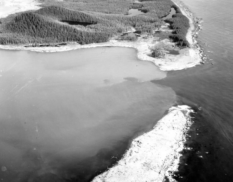
Visitors who fly over Lituya Bay can still see the pale scars etched into the mountainsides where the 1,700-foot wave scraped them clean. The forest has regrown, but unevenly—young trees mark where the water once reached. The quiet inlet, framed by snow-capped peaks, hides its violent history behind breathtaking beauty. It’s a haunting balance of destruction and renewal, reminding us that even the most serene landscapes can hold memories of unimaginable power.