
What appeared empty land may never have been.
For decades, thick jungle in parts of Mesoamerica discouraged deeper investigation, reinforcing assumptions about sparse settlement. Recent advances forced a reckoning. What researchers believed were isolated ruins now appear tied to something far larger, organized, and intentional. The implications reach beyond archaeology into how population, power, and land use were understood across centuries. The discovery raises an uncomfortable question. How much history remains hidden simply because it was too hard to see, until now.
1. LiDAR scans revealed an unexpected urban footprint.
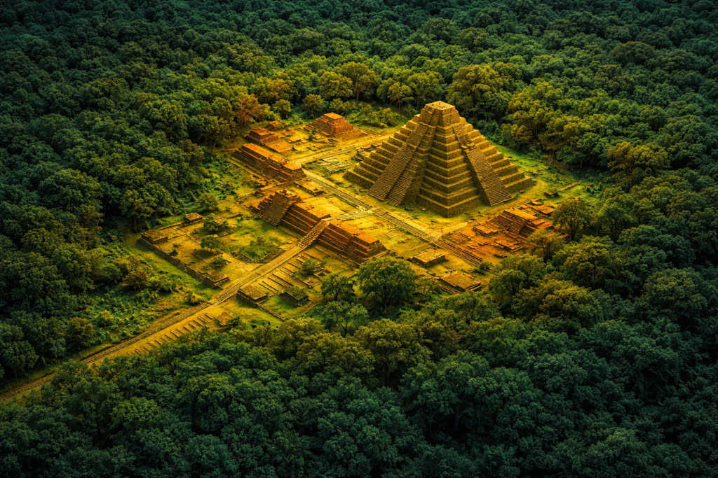
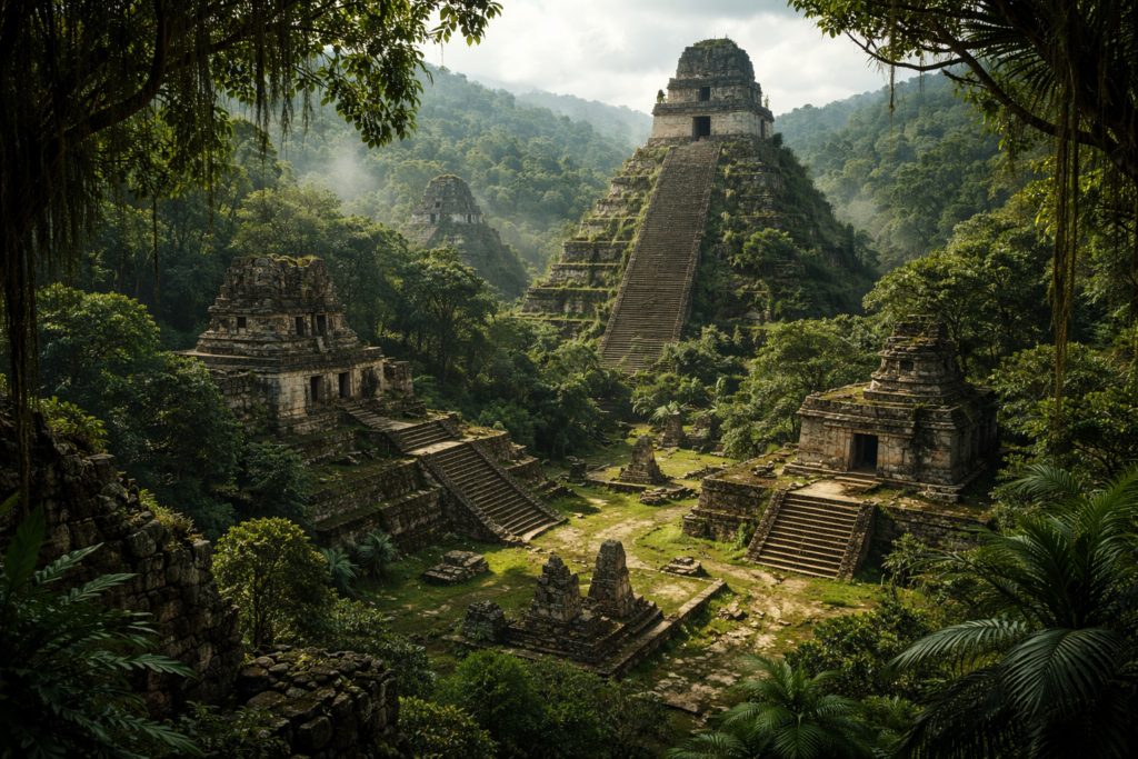
From above, the forest canopy looked uniform and unremarkable. Traditional surveys saw only scattered mounds. Then airborne LiDAR stripped away vegetation digitally, exposing rectilinear patterns beneath. The scale startled researchers. Structures stretched across terrain once labeled peripheral, suggesting intentional urban planning rather than accidental clustering.
The scans were conducted over northern Campeche in Mexico. What emerged was a dense grid of platforms, roads, and reservoirs. The findings forced teams to reconsider long standing assumptions about settlement density in this region of the Maya world.
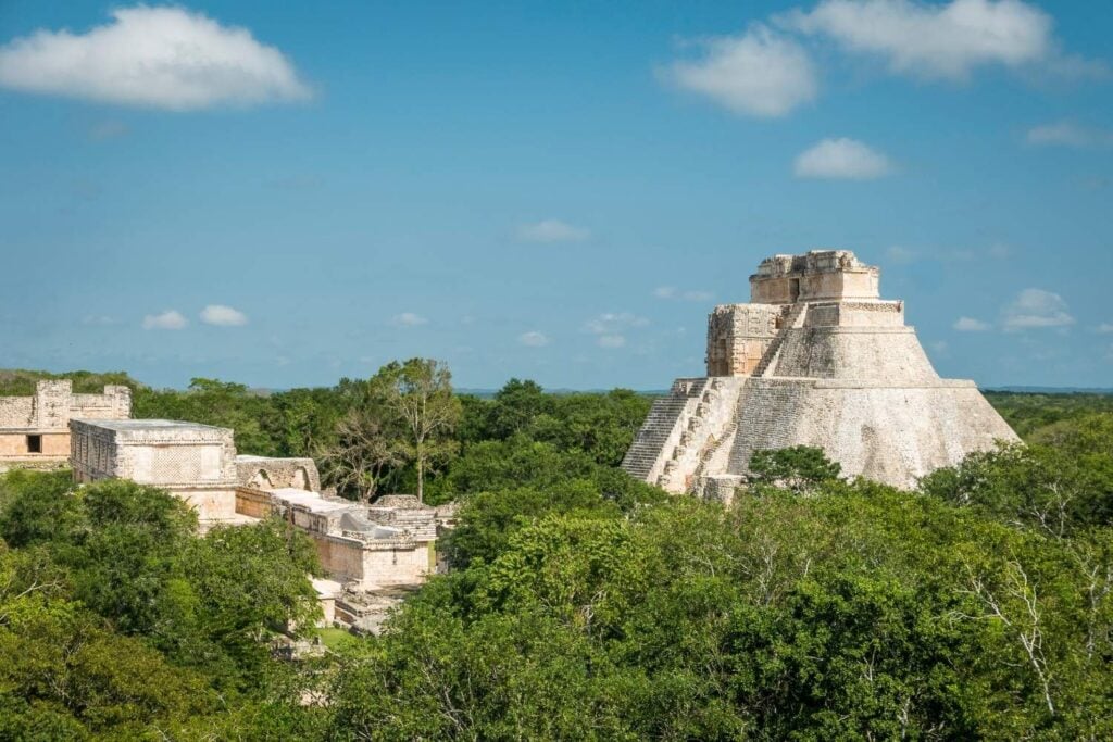
2. The city now known as Valeriana challenged maps.
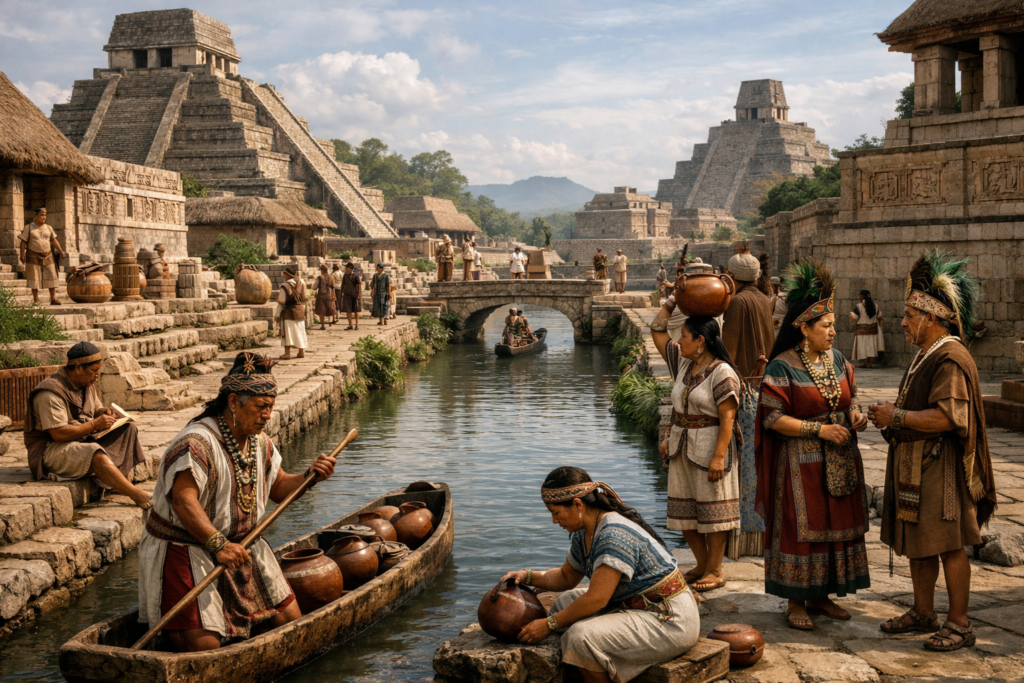
Once invisible, the site was given a working name, Valeriana, to anchor discussion. Its layout did not match expectations for a minor center. Instead, causeways connected districts, and elevated plazas suggested coordinated governance. The discovery unsettled regional chronologies built on incomplete surface data.
Field teams began correlating LiDAR results with older survey notes. What once seemed unrelated features aligned into a coherent plan. Valeriana emerged not as an anomaly, but as a missing piece reshaping regional political geography.
3. Population estimates for the region suddenly shifted upward.
If Valeriana functioned as a full city, then population estimates collapse under scrutiny. The density implied by residential platforms far exceeded previous models. Scholars now face the possibility that millions more people lived in this landscape than assumed.
The city dates primarily to the Late Classic period around 600 to 900 CE. Its footprint suggests sustained habitation. Adjusting population figures ripples outward, affecting models of labor, agriculture, and resource management across the central Maya lowlands.
4. Engineers reshaped water and land deliberately.
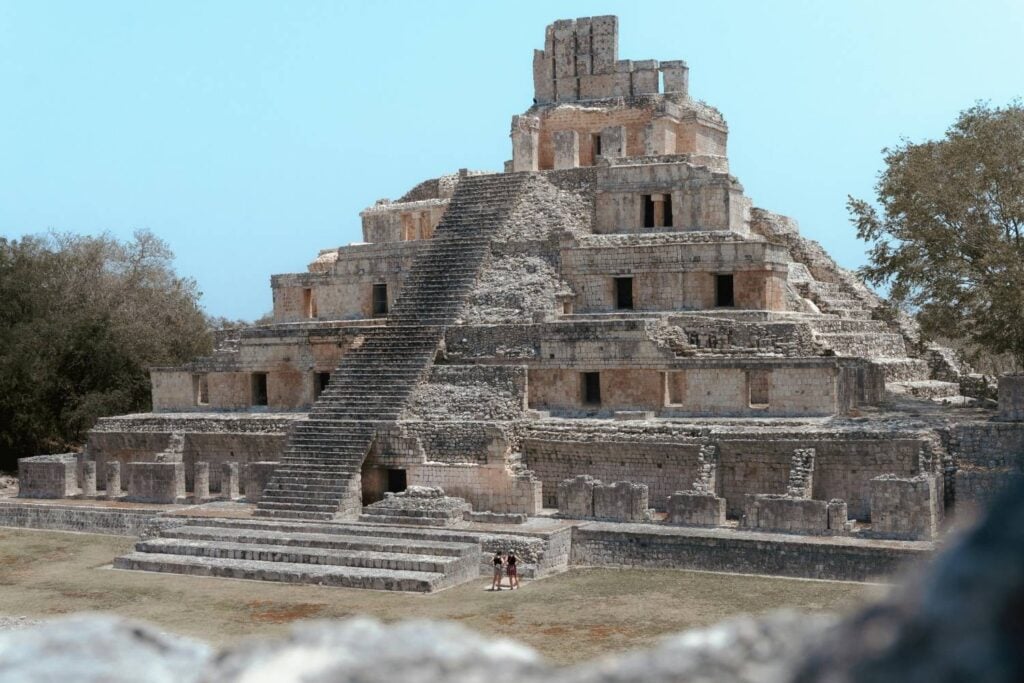
Reservoirs, canals, and modified terrain appeared throughout the mapped area. These were not incidental features. Their placement suggests careful planning to manage seasonal rainfall and drought. Such infrastructure implies centralized coordination and long term investment.
Ground verification confirmed many features identified remotely. Excavations showed retaining walls and water control systems integrated into neighborhoods. This level of engineering complicates narratives portraying Maya cities as fragile or purely ceremonial.
5. Political complexity exceeded earlier assumptions.
Urban planning on this scale implies governance capable of organizing labor and enforcing norms. The presence of administrative plazas and monumental architecture suggests layered authority rather than loose alliances. Power appears structured, not symbolic alone.
Valeriana sits among known Maya centers but does not conform neatly to hierarchies previously mapped. Its existence raises questions about rival polities and shifting alliances. The political landscape now looks more crowded and competitive than earlier models allowed.
6. Jungle growth masked abandonment rather than collapse.
The forest covering Valeriana grew slowly after abandonment. There is little evidence of violent destruction. Instead, structures were reclaimed by vegetation over centuries. The silence misled later observers into assuming emptiness where complexity once thrived.
This pattern challenges collapse narratives focused on sudden catastrophe. Gradual depopulation may have allowed nature to erase urban signatures without dramatic markers. The jungle did not hide ruins overnight. It absorbed them patiently.
7. Fieldwork confirmed remote sensing interpretations.

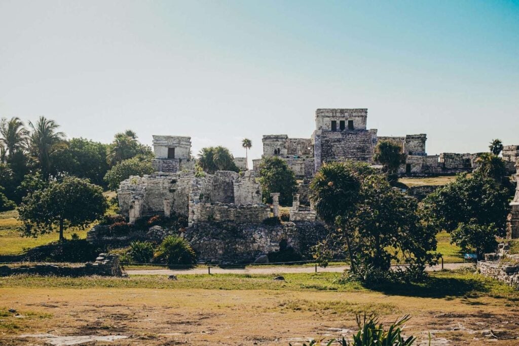
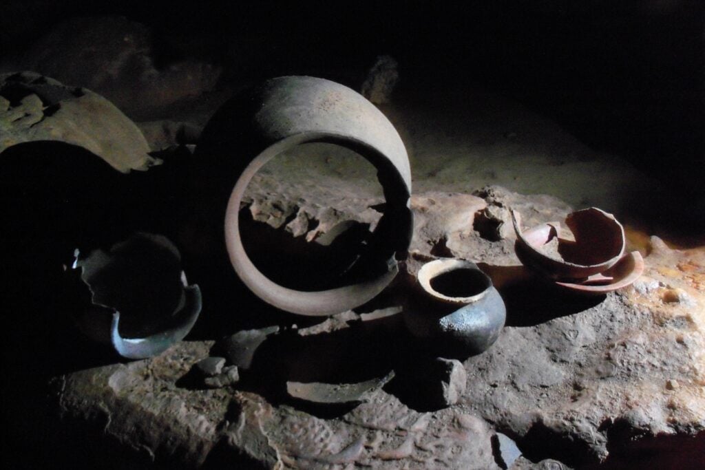
Skepticism followed the initial LiDAR results. To test them, archaeologists trekked through dense jungle to ground truth the data. They found platforms, stairways, and building foundations exactly where scans predicted.
Ceramic fragments and construction styles matched Late Classic Maya traditions. These confirmations strengthened confidence in remote sensing as a transformative tool. The jungle had not deceived technology. It had deceived human expectation.
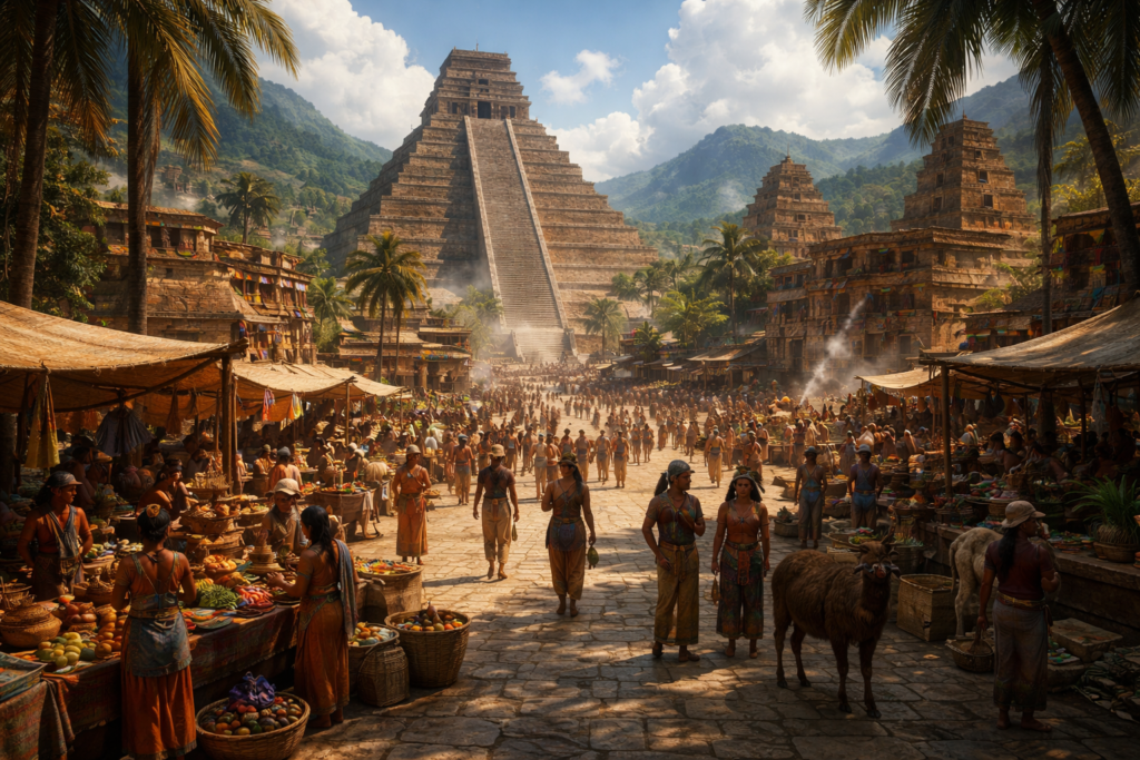
8. Trade routes appear more interconnected than believed.
Causeways radiating from Valeriana suggest integration into regional trade networks. These raised roads linked districts internally and possibly connected to neighboring centers. Movement of goods and people likely flowed through this city.
Artifacts recovered indicate access to materials from distant regions. Obsidian and ceramics reflect exchange systems that required coordination. Valeriana was not isolated. It participated actively in broader economic systems.
9. Environmental adaptation strategies demand reevaluation.
The scale of modification visible around the city suggests sustainable strategies previously underestimated. Terracing and water management reflect adaptation rather than exploitation. This complicates narratives of environmental mismanagement causing collapse.
Researchers now reassess how Maya cities interacted with their surroundings. Valeriana demonstrates long term resilience strategies. Understanding these systems could reshape interpretations of ancient responses to climate variability across Mesoamerica.
10. The discovery reframes what remains undiscovered.

Valeriana’s emergence implies similar cities may still lie hidden. Vast stretches of jungle remain unmapped at comparable resolution. Each scan carries the possibility of rewriting history again.
The realization forces humility. Archaeological absence may reflect methodological limits rather than true emptiness. As technology advances, the ground beneath the forest may continue to challenge narratives built on what could once be seen.