The Caribbean braces for a record-shattering storm.
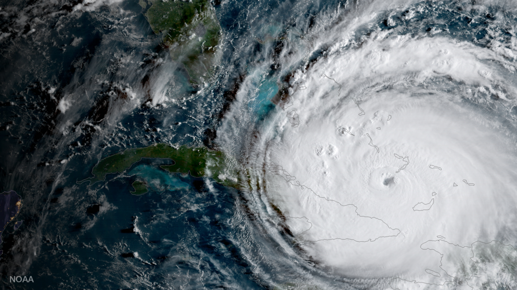
A massive storm is taking aim at Jamaica with a frightening intensity that demands attention. As a friend telling you the hard truth, here’s the deal: the hurricane known as Hurricane Melissa has rapidly strengthened and is expected to make landfall with destructive potential in the coming days. Residents are being told to move fast, secure property and be ready for coastal flooding, torrential rain and sustained extreme winds. Conditions could evolve quickly, and waiting until the last minute is no longer an option.
1. Wind speeds have surged to near 150 mph.
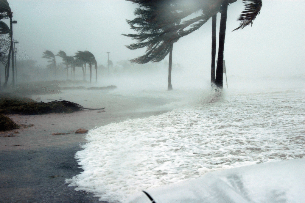
Reports show Melissa has become a high-end Category 4 hurricane with sustained winds near 150 mph, according to recent advisories. This extreme intensification sets the stage for a potentially record-setting event for Jamaica and surrounding islands. The rapid jump in strength reflects unusually warm Caribbean waters and favorable atmospheric conditions driving the storm upward in power. With such wind speeds, structural damage, blown debris and uprooted trees are very likely.
2. The storm could intensify further into Category 5 status.
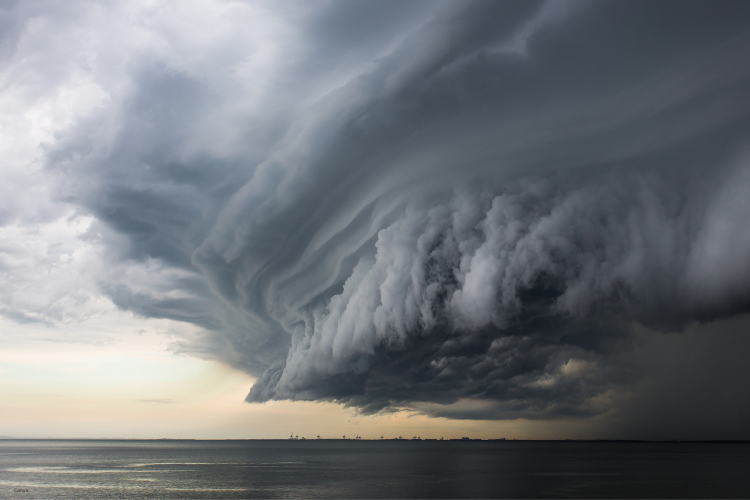
As stated by forecasters, the conditions are ripe for Melissa to cross the threshold into Category 5 before landfall. The ocean heat beneath is among the highest on record for the region, and decreasing wind shear makes the jump more plausible, as discovered by meteorologists. If that happens, Jamaica would face extreme impacts from a storm of historic magnitude.
3. Slow movement will prolong the destructive window.
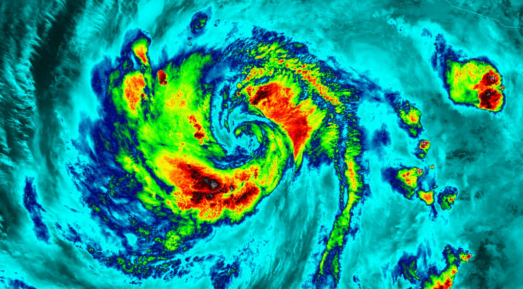
Melissa is moving very slowly, which increases the time over which Jamaica will face damaging winds, rainfall and surge, according to the official forecast. That means instead of a quick strike, the island may endure the worst of this storm for days. The longer duration raises risk of flooding, power outages and structural failures as systems fatigue under extended stress.
4. The forecast calls for monumental rainfall totals.

With the storm’s slow pace and intense dynamics, rainfall totals are projected in the range of 15 to 30 inches across Jamaica, with isolated higher amounts possible. That kind of rain pouring in comes with high risk of flash flooding, river overflows and landslides as vulnerable terrain gives way. Homes in low-lying or hill-side communities will need to prepare for water intrusion and structural compromise.
5. A dangerous storm surge will threaten coastal communities.
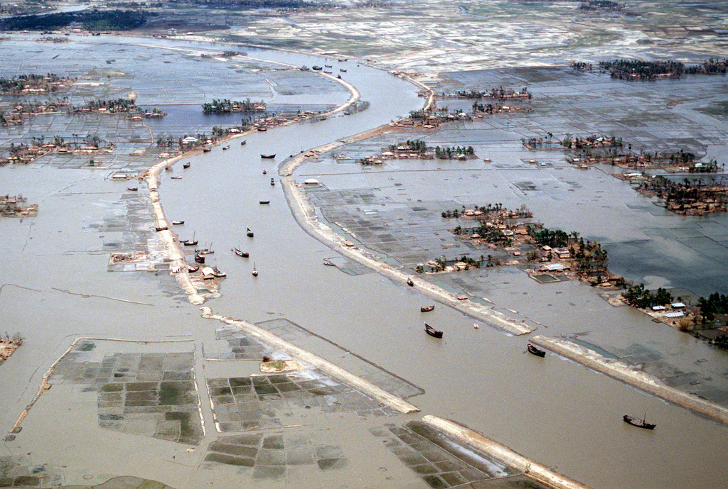
As the hurricane approaches, residents along Jamaica’s coast should brace for storm surges possibly reaching several feet, accompanied by large waves. Coastal zones that often get by with minimal flooding could now face deep water, knocked off shore infrastructure and impassable roads. Tide-surge timing worst effects will coincide with high tide, amplifying damage and complicating evacuation efforts.
6. Power and communication networks will likely face wide disruption.
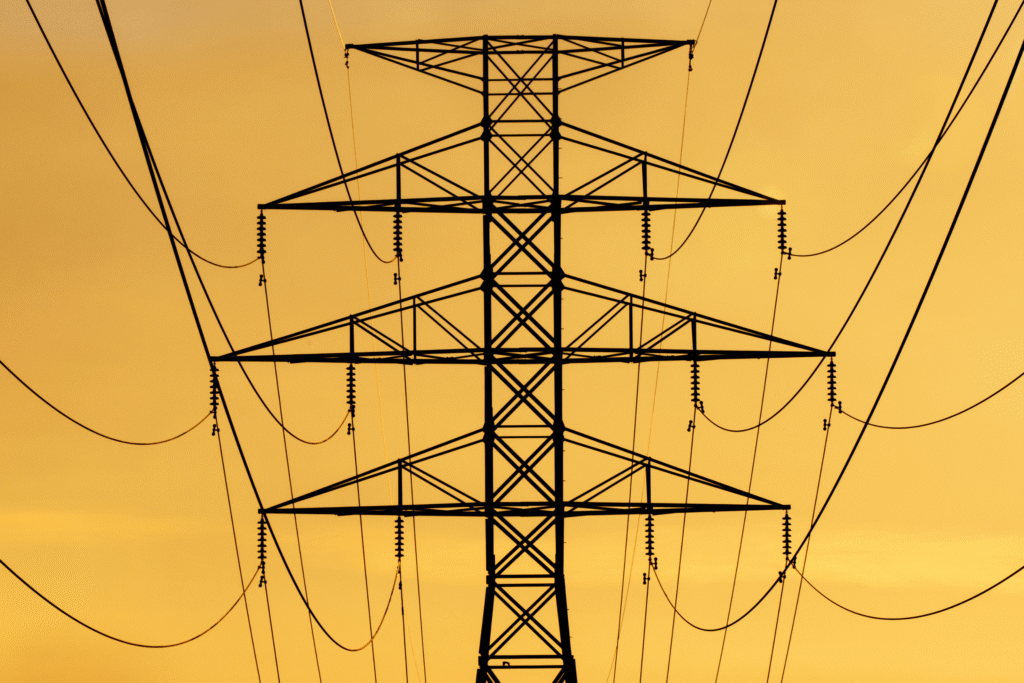
Given the combination of high winds, rainfall battering and surge intrusion, utility systems and communications infrastructure may fail across large swaths of Jamaica. Downed power lines, fallen trees and flooded facilities could keep many areas off‐grid for days or longer. That in turn hampers emergency response, supply distribution and information flow during the critical recovery period.
7. Emergency shelters and evacuation plans are already being activated.
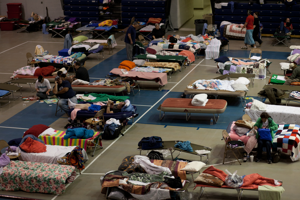
The Jamaican government and local authorities are mobilizing shelters, closing airports and advising residents in flood-prone or coastal zones to relocate. With the storm’s landfall expected soon, these early actions are key to reducing casualties. Communities that delay or ignore warnings risk being trapped by rising water or unable to access assistance once the storm hits full force.
8. Agriculture and fisheries will take a severe hit across the island.
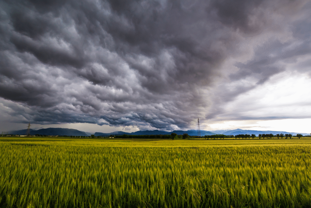
Large-scale wind and water damage threatens Jamaica’s crops, livestock and the fishing sector. Fields may be submerged, boats damaged or destroyed, and barriers to movement will slow repair operations. For a country where agriculture and coastal livelihoods are vital, this storm could trigger economic stress as well as physical damage.
9. Recovery logistics could be complicated by the storm’s slow exit.
Because Melissa is predicted to linger after landfall, the restoration of services and movement of supplies may be delayed. Roadways may be blocked for longer, debris removal stretched, and recovery teams stretched thin. That means local communities may face extended periods of isolation or reduced access to aid while the storm clears and infrastructure is restored.
10. Climate change could be amplifying the storm’s intensity.

Scientists tracking Hurricane Melissa note that warmer sea surface temperatures and reduced wind shear are fueling its rapid intensification. This matches broader trends of stronger hurricanes hitting the Caribbean in recent years. If Melissa indeed becomes a Category 5 and results in major damage, it would echo warnings from climatologists that storms in this region are becoming more extreme and less forgiving to vulnerable islands.
