
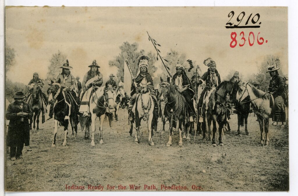
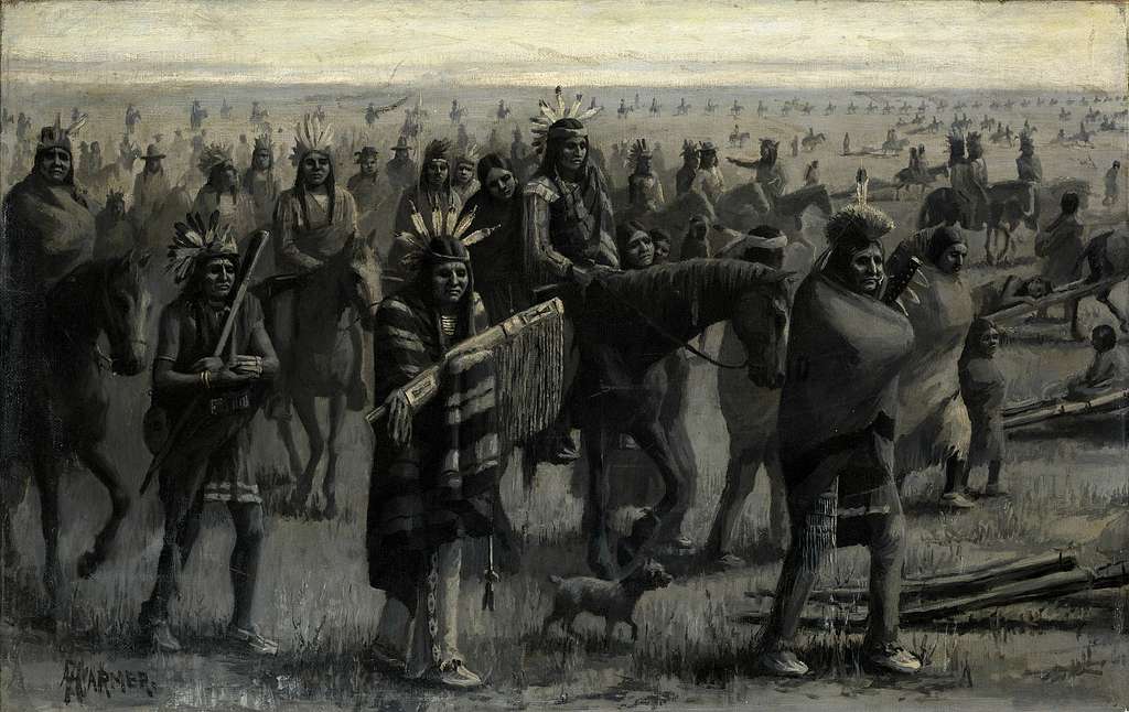
Ancient pathways shaped routes still used today.
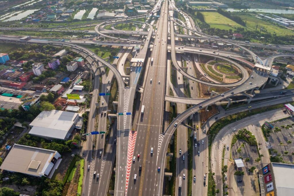
Long before survey crews charted lines across the continent, Indigenous nations walked routes that were so efficient, so deeply aligned with the landscape, that modern engineers later followed them almost exactly. These trails moved people through mountain passes, river valleys and dense forests with a precision still admired by researchers today. New mapping studies compare those ancient paths to the major roads now carrying millions of drivers, revealing that the bones of modern transportation were set by communities who understood the terrain in ways science is only now proving.
1. Researchers linked early maps to present day highways.
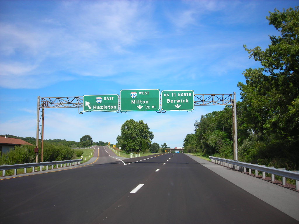
A new analysis comparing colonial era maps with modern transportation grids revealed that U.S. Route 11, stretching from New York to Louisiana, follows the Great Indian Warpath according to National Geographic. The overlap is so precise that several sections match bend for bend. Researchers concluded that engineers used the original trail’s proven ridgeline route because it offered reliable gradients and year round access.
The realization adds weight to the idea that the earliest American road planners did not create new corridors as much as formalize ones already perfected. Indigenous travelers had already tested the terrain, marked the safe slopes and chosen the most dependable water access. Modern planners simply codified what had been successful for centuries, turning a historic footpath into a major interstate artery.
2. Colonial surveyors relied heavily on Indigenous trail systems.
Eighteenth century survey records show that U.S. Route 1 across the East Coast mirrors several connected Indigenous routes, including the Pequot Path and stretches of the Tāmackwalk, as stated by Smithsonian Magazine. These trails guided postal routes that later shaped highway construction. When colonial planners sought the most dependable coastal connector, Indigenous knowledge provided the blueprint.
That inherited understanding meant the earliest formal roads already fit the land’s natural contours. Over time, these paths widened from foot trails to wagon roads, then to federal highways. The straightness of long sections of Route 1 becomes easier to understand when viewed through this lens. It was never redesign. It was reinforcement.
3. Modern planners confirmed the continuity through field surveys.
Twentieth century engineers realized that the National Road, now tracked by U.S. Route 40, aligned closely with Nemacolin’s Path as reported by The New York Times. The historic trail had carved the safest route across the Alleghenies, and the same topographic advantages drew federal builders centuries later. Soil consistency, drainage and slope stability were already proven.
Survey teams acknowledged that these corridors reduced construction risk dramatically. By following Indigenous routes, they inherited choices shaped by immense generational knowledge. The highway that emerged became one of the country’s earliest major connectors, carrying traffic along the same passages once walked by traders and diplomats moving between the Ohio Valley and the East Coast.
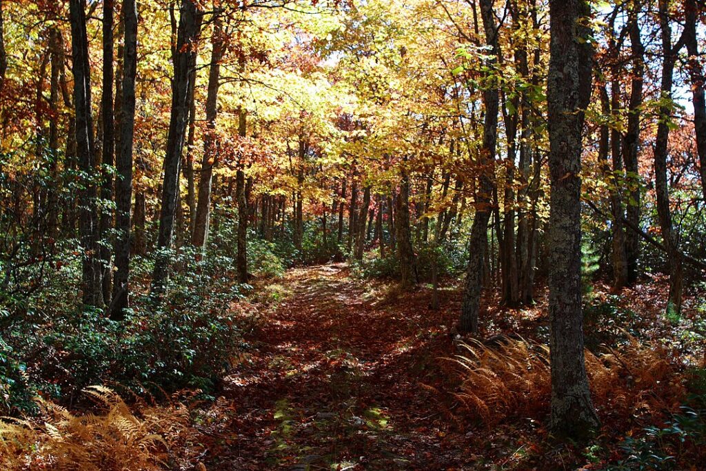
4. The Natchez Trace shaped multiple modern connectors today.
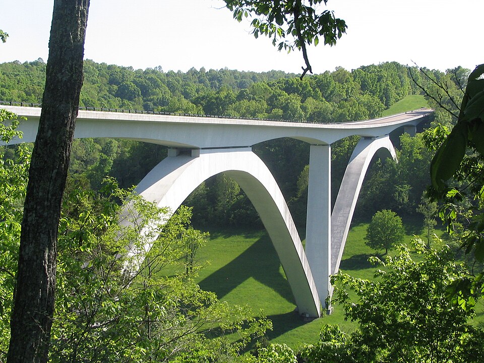
The Natchez Trace Parkway sits almost perfectly atop an ancient Indigenous trail linking Tennessee, Alabama and Mississippi. Modern roads like U.S. 61 and U.S. 80 parallel sections of this network. These routes once served as powerful arteries for cultural exchange, diplomacy and trade. Their placement reflects a precise reading of terrain that rarely needed modern adjustment.
The trail offered predictable footing through diverse ecosystems. When the federal government formalized the corridor, it found few improvements were required. The durability of the alignment underscores a truth now widely recognized. Indigenous travelers built infrastructure long before the word existed.
5. Cherokee routes influenced highways across the Appalachians.
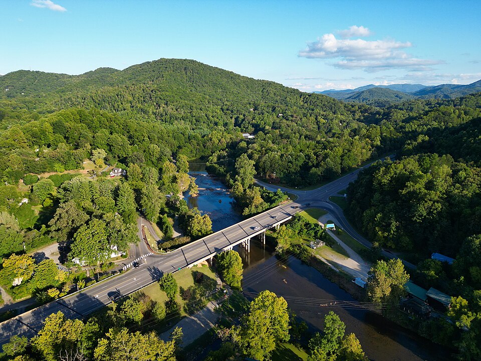
U.S. Route 441 running through the Great Smoky Mountains follows parts of the Cherokee Trading Path and the Unicoi Turnpike. These routes provided safe access through rugged slopes that challenged later engineers. Their placement avoided unstable ledges and predictable flood zones, offering consistent travel even in shifting weather.
When national park planners and highway officials examined possible road alignments, the Indigenous paths remained the most sensible choice. Today, millions drive through those mountains unaware they are tracing decisions refined by centuries of travelers who understood every ridge and hollow.
6. The Great Valley Road shaped the modern I 81 corridor.
The Great Valley Road, rooted in the Great Indian Warpath and other Indigenous routes, guided migration and diplomacy in the eighteenth century. Its path through Virginia and Tennessee later informed the alignment of U.S. 11 and eventually influenced the siting of Interstate 81. The corridor’s gentle gradients and predictable winds made it irreplaceable.
The continuity demonstrates how some trails grew out of deep environmental logic that modern highway science still respects. Engineers often discovered that alternative routes demanded far more excavation or risk. The oldest answer was also the right one.
7. Trails along river valleys created today’s major connectors.
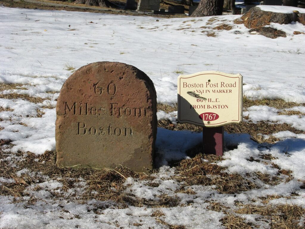
River aligned Indigenous routes shaped highways from New England to the Midwest. Sections of U.S. 20 and the Boston Post Road follow pathways created by Wabanaki, Narragansett and Mohegan travelers. These trails hugged steady ground where flooding was manageable and visibility remained high.
When states formalized regional roads, engineers adopted these river corridors because they required minimal grading. The predictable terrain produced stable travel routes that continue to support high traffic volumes. Each river aligned highway now preserves the memory of how Indigenous nations understood and navigated water shaped landscapes.
8. Western passes were already mapped by Indigenous nations.
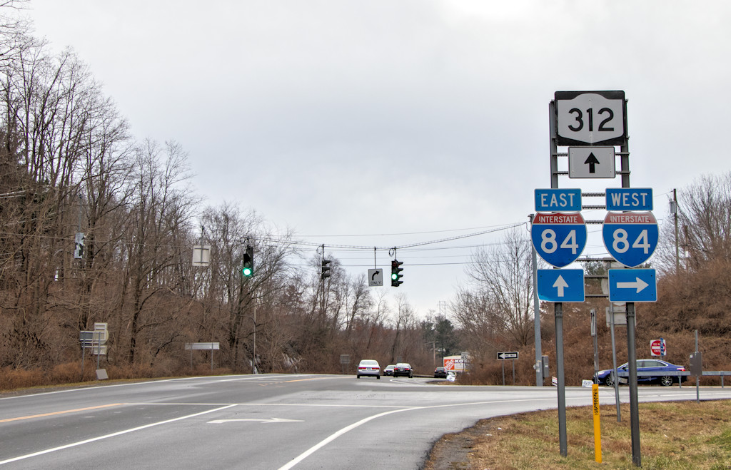
Highways such as Interstate 84 and Interstate 80 trace earlier Nez Perce, Shoshone and Paiute paths that threaded safely through volcanic plateaus and mountain passes. These routes offered favorable elevations and defensible terrain, long before wagon trains adopted them as precursors to the Oregon and California Trails.
When interstate construction began, planners confronted the same obstacles Indigenous travelers had mastered. The established passes still represented the most efficient options. Modern infrastructure simply widened the space, leaving the logic of the original paths intact.
9. Wildlife linked routes strengthened Indigenous trail placement.
Indigenous trails sometimes mirrored animal migration paths because both relied on reliable elevations, water sources and stable soils. Modern roads built along routes such as U.S. 23 and U.S. 321 exemplify this continuity, following the same corridors that supported movement long before settlement.
Engineers frequently found that deviations from these corridors created steep grades or unstable ground. The wildlife informed logic behind the trails carried forward into road design. The resulting highways owe their efficiency to an ancient synergy between humans, animals and terrain.
10. Recognizing these origins reframes the story of American infrastructure.
Mapping technologies now confirm overlaps that were once anecdotal. Layered geographic models reveal that many of the busiest corridors in the United States trace their ancestry to Indigenous networks. These findings shift the narrative from invention to inheritance, demonstrating that modern infrastructure stands on the foundation of older, wiser choices.
The revelation encourages planners to value Indigenous knowledge systems that shaped movement long before concrete. It also emphasizes that today’s drivers follow lines drawn by hands that read landscapes with remarkable depth, leaving patterns strong enough to outlast centuries.