
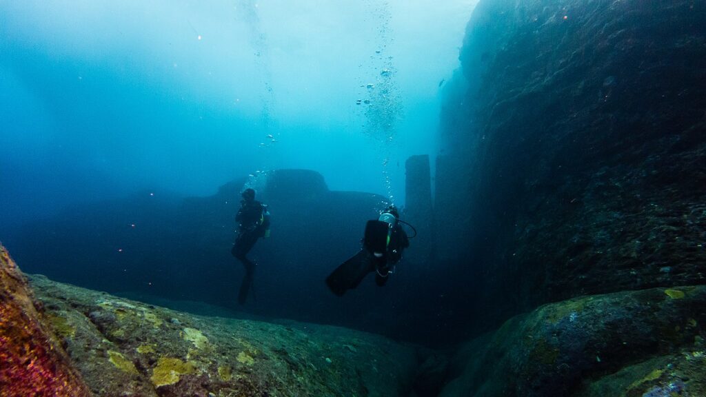
Stunning underwater ruins emerge from shifting currents.
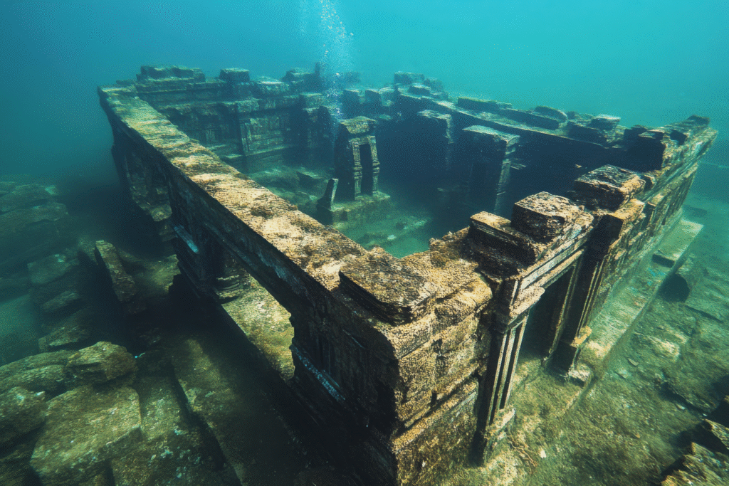
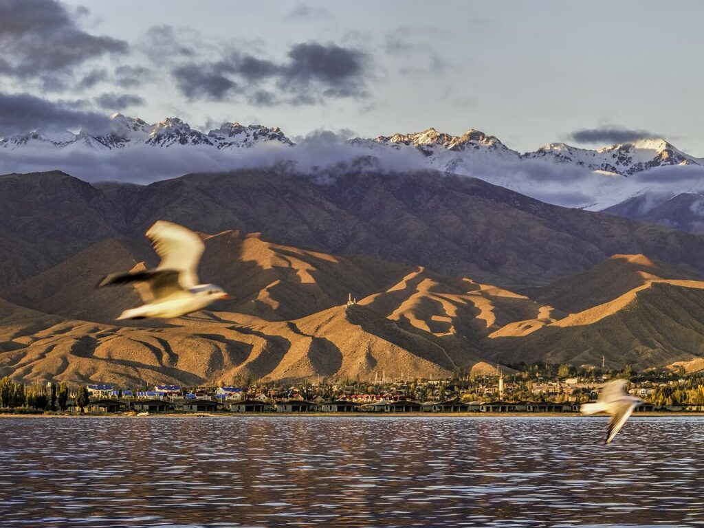
For years, Lake Issyk Kul carried rumors of forgotten structures hidden beneath its cold blue surface. Divers spoke of straight lines where there should have been only silt, and fishermen described stone patterns brushing across sonar. Now archaeologists have confirmed that a medieval settlement, perhaps once thriving along a Silk Road passage, lies submerged just offshore. The clarity of the water has exposed streets, walls and foundations shaped by hands that lived nearly a thousand years ago, long before the lake swallowed them.
1. Divers first spotted geometric outlines during routine surveys.

Local research teams exploring Issyk Kul’s northern shallows noticed repeating angles in the sediment, a detail that prompted a second round of dives according to National Geographic. The patterns were too regular to be natural, with straight intersections that hinted at an organized settlement. As divers moved deeper, they found stones arranged in rows that matched those of medieval Kyrgyz trading towns.
More dives revealed walls still standing beneath layers of sand. The clarity of the water helped expose entire street segments that ran parallel to each other for surprising distances. Although erosion softened their edges, the alignment looked deliberate. Each new survey expanded the footprint of the submerged site, giving researchers the sense that they were walking through a drowned city preserved by cold mountain currents.
2. Archaeologists began mapping streets after sonar confirmed foundations.

Researchers used boat mounted sonar to capture high resolution images of the lakebed, and that data revealed rectangular blocks that resembled ancient building plots as stated by the BBC. The shapes formed a grid that matched urban planning styles from the thirteenth century, a time when Silk Road traffic moved through the region. The clarity of the images convinced archaeologists to begin systematic mapping.
Once divers matched the sonar signals with physical stonework, the pattern became unmistakable. Long corridors framed by uniform rocks pointed to a city organized around trade, movement and defense. Sediment layers suggested that parts of the settlement sank gradually, possibly due to shifting lake levels or seismic activity. Standing on the shore today, it is hard to imagine that merchants once walked those same paths now lying under cold water.
3. Evidence of fortifications appeared near the deeper perimeter.
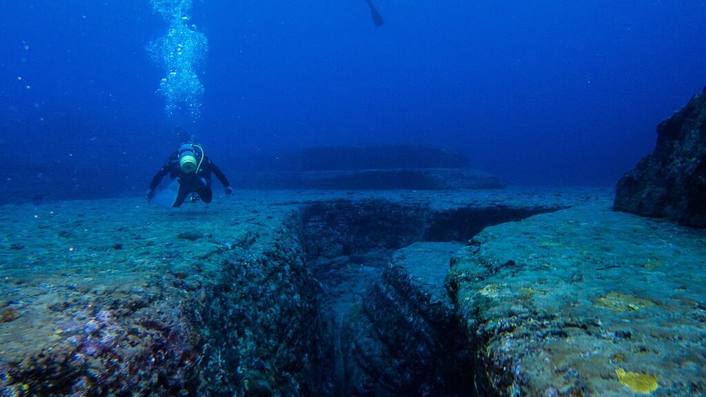
As teams worked outward, they identified thicker stone lines along the deeper edges of the site, lines that resembled exterior walls as reported by Reuters. These stood apart from the smaller residential foundations. If confirmed as fortifications, they would point to a city that expected both commerce and conflict. The location along important trade routes supports this interpretation.
Divers described broader stones embedded firmly into the substrate, suggesting careful construction meant to withstand large forces. The curvature of the structure matched defensive layouts used by regional kingdoms that guarded their markets from raiders. Even under water, the scale feels imposing. The placement adds a new layer of insight into how the city operated at its height.
4. Shifting lake levels likely played a central role in its disappearance.
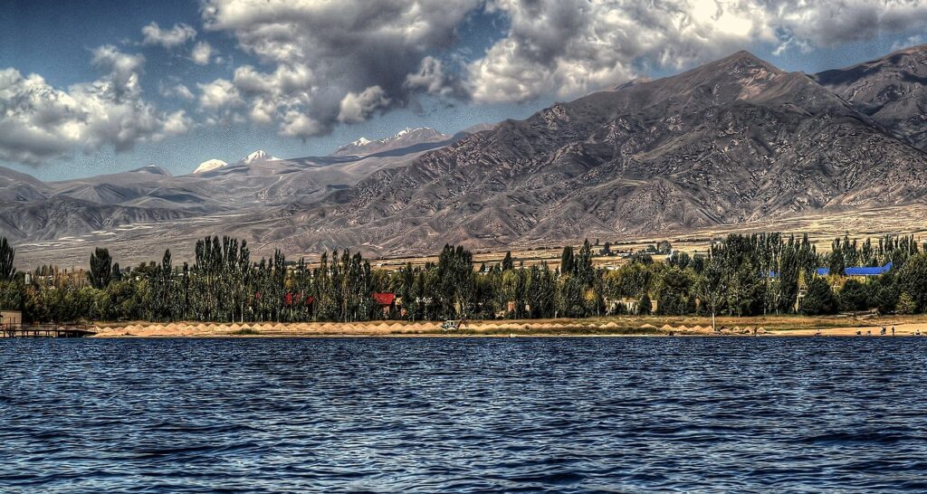
Lake Issyk Kul has risen and receded across centuries, pushed by tectonic forces and seasonal inflows. Archaeologists studying shoreline sediments believe a slow but steady encroachment may have submerged the city over generations. People living there might have watched the lake expand year by year before finally leaving.
Higher water levels today hide what once stood proudly at the water’s edge. As the lake filled, streets turned into channels and courtyards dissolved into murky pools. The submersion preserved much of the city in place rather than scattering it. That stability is why the outlines remain visible through the clear mountain water even now.
5. The ruins show a layout consistent with Silk Road commerce.
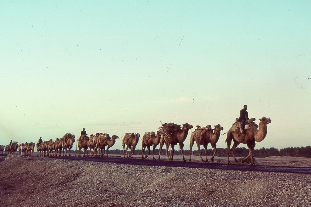
The arrangement of wide central roads leading to narrower side corridors fits the needs of a city built around travel and trade. Merchants moving between Central Asia and China likely passed through these streets, exchanging goods before climbing back into high altitude passes. The lake served as both a resource and a natural barrier that shaped the city’s design.
Artifacts found nearby, including fragments of ceramics and carved stone, match items traded along major caravan routes. This strengthens the argument that the city was an active part of Silk Road culture. The remains beneath Issyk Kul give a rare underwater look at how trade shaped settlement patterns in medieval Central Asia.
6. Cold water has preserved structures far better than expected.
Temperatures in Issyk Kul remain low throughout the year, slowing biological decay. That chill allowed wooden beams and stone walls to survive where they would otherwise collapse. The clarity of the water adds another advantage, preventing heavy algae buildup that might obscure the ruins.
Preservation conditions have given researchers a chance to document intact foundations that mirror their original forms. This level of detail is unusual for submerged medieval sites. The well kept edges and long straight lines reveal craftsmanship that is still readable despite centuries of water pressure.
7. Geological studies hint at seismic triggers for the sinking.

Issyk Kul lies within a tectonically active region. Small earthquakes shift the basin periodically. Geological cores from around the lake show layers disrupted by seismic activity during the medieval period. These disruptions align with periods when water levels changed rapidly.
If an earthquake destabilized the shoreline or weakened underlying sediments, parts of the city could have slipped downward. Even modest movements can redirect water flow dramatically in mountain basins. That combination of ground movement and rising lake levels may have completed the city’s descent beneath the surface.
8. Cultural clues suggest the settlement had political significance.
Some architectural patterns resemble structures found in towns that held administrative power over surrounding villages. Wider courtyards and raised platforms may indicate buildings once used for governance or ceremonial gatherings. These features distinguish it from a simple trade outpost.
Researchers think regional leaders may have used this settlement to manage movement through the Issyk Kul corridor. The city’s strategic position would have made it a valuable point of control for taxation and diplomacy. Its loss to the lake might have reshaped political dynamics across the region.
9. The find could reshape understanding of medieval Central Asia.
The scale of the submerged city is larger than researchers expected for this part of Kyrgyzstan. Its preservation adds a rare dimension to the archaeological record, offering a mix of terrestrial and underwater evidence. Each new discovery challenges assumptions about the complexity of settlements along high altitude trade routes.
More surveys are planned as teams continue mapping deeper zones. If further segments appear, the site could become one of the most significant medieval finds in Central Asia. The lake’s silence now holds stories of people who once shaped a thriving world along the ancient Silk Road.