
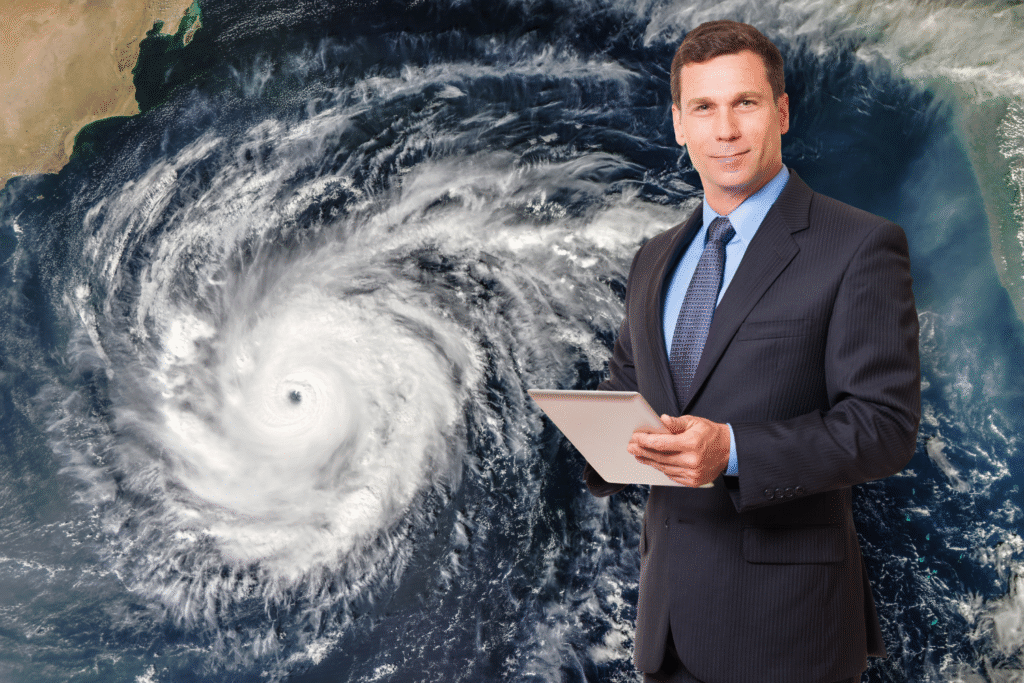
Climate change is supercharging storms in ways we’re only beginning to understand.
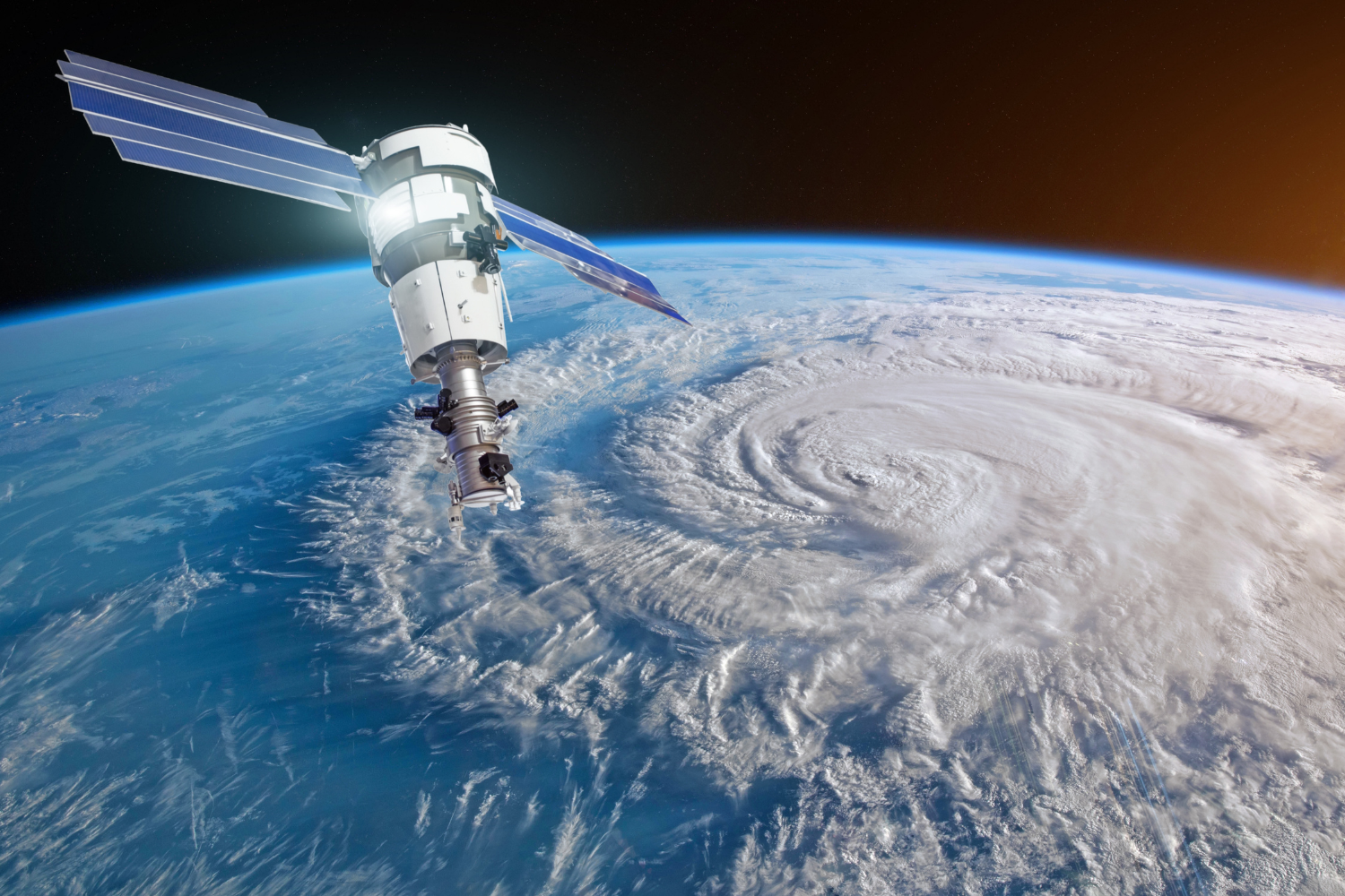
Mother Nature has always been unpredictable, but something fundamental is changing. The storms that once defined a generation are now arriving with frightening regularity, packing more punch than ever before. Scientists studying weather patterns across decades are sounding alarms about what’s coming next.
The math is simple, but the implications are staggering. What meteorologists call “once in a century” storms might become the new normal faster than anyone anticipated.
1. The next “Storm of the Century” could arrive within the next decade.

Statistical probability becomes meaningless when underlying conditions shift rapidly. Events labeled as “once in a century” now occur multiple times per decade across different regions. The terminology itself has become obsolete as rare becomes routine.
Climate scientists examining trend lines suggest the next truly catastrophic storm could dwarf anything in recorded history. Combining maximum wind speeds, precipitation rates, storm surge heights, and geographic impact zones, future storms may create damage scenarios that exceed current emergency response capabilities entirely. Preparation strategies built for historical precedents may prove inadequate for what’s actually coming.
2. Storm wind speeds have jumped 6% since 1940, but that translates to 20% more destruction.
Small percentages hide massive realities when it comes to storm damage. Scientists analyzing nor’easters between 1940 and 2025 discovered maximum wind speeds of the most intense storms increased by around 6%. That might sound modest, but physics tells a different story entirely.
According to a study published in the Proceedings of the National Academy of Sciences, a 6% boost in wind speed equates to a 20% increase in the storm’s destructive potential. Michael Mann, the climate scientist at the University of Pennsylvania who co-authored the research, calls it “substantial.” This exponential relationship between wind speed and damage explains why recent storms have left communities reeling from unexpectedly catastrophic impacts.
3. These supercharged storms are dumping 10% more rain and snow than before.
Water becomes a weapon when storms intensify beyond historical norms. The same research tracking wind speed changes found another troubling trend lurking in the data. Precipitation rates from the most powerful storms have climbed steadily over the past eight decades.
The rates of rain and snow dumped by these storms have also increased by about 10%, according to the analysis. This increase stems from basic atmospheric physics that’s been accelerating in recent years. Warmer oceans and air create more evaporation, loading the atmosphere with moisture that gets unleashed during storm events. What used to be manageable flooding now overwhelms drainage systems and turns streets into rivers.
4. Hurricane damage costs are exploding toward a quarter trillion dollars per storm.
Financial devastation from major storms has reached breathtaking scales that dwarf previous disasters. Recent hurricanes are rewriting the economic playbook for natural disaster recovery. Hurricane Helene alone demonstrated how quickly costs can spiral beyond all historical precedent.
AccuWeather estimates total costs from Hurricane Helene to exceed between $225 billion and $250 billion, making it potentially the most expensive natural disaster in U.S. history. This staggering figure accounts for immediate damage plus long-term economic disruptions across multiple states. The storm’s path through the Southeast created cascading effects that will ripple through industries for years to come.
5. Ocean temperatures are creating rocket fuel for hurricane engines.

Hurricanes draw their power from warm ocean water like engines drawing from a fuel tank. The problem is that fuel tank keeps getting hotter every year. Sea surface temperatures have been smashing records globally, creating ideal conditions for storm formation and intensification.
Climate scientists warn this trend creates a feedback loop where storms not only become stronger but intensify faster than historical patterns. When rapid intensification happens close to landfall, evacuation windows shrink dramatically. Coastal communities find themselves facing Category 4 storms that were Category 1 just hours earlier, leaving little time for preparation.
6. Atmospheric moisture levels are hitting record highs across entire regions.

The air itself has become a loaded weapon in storm formation. Meteorologists track something called “precipitable water” – essentially how much rain would fall if you could instantly extract all moisture from a column of air. These measurements have been breaking records consistently.
Summer patterns now funnel unprecedented humidity northward from unusually warm Gulf waters. This creates atmospheric conditions primed for explosive precipitation events when weather systems collide. The result is flash flooding that turns 100-year events into annual occurrences across multiple states simultaneously.
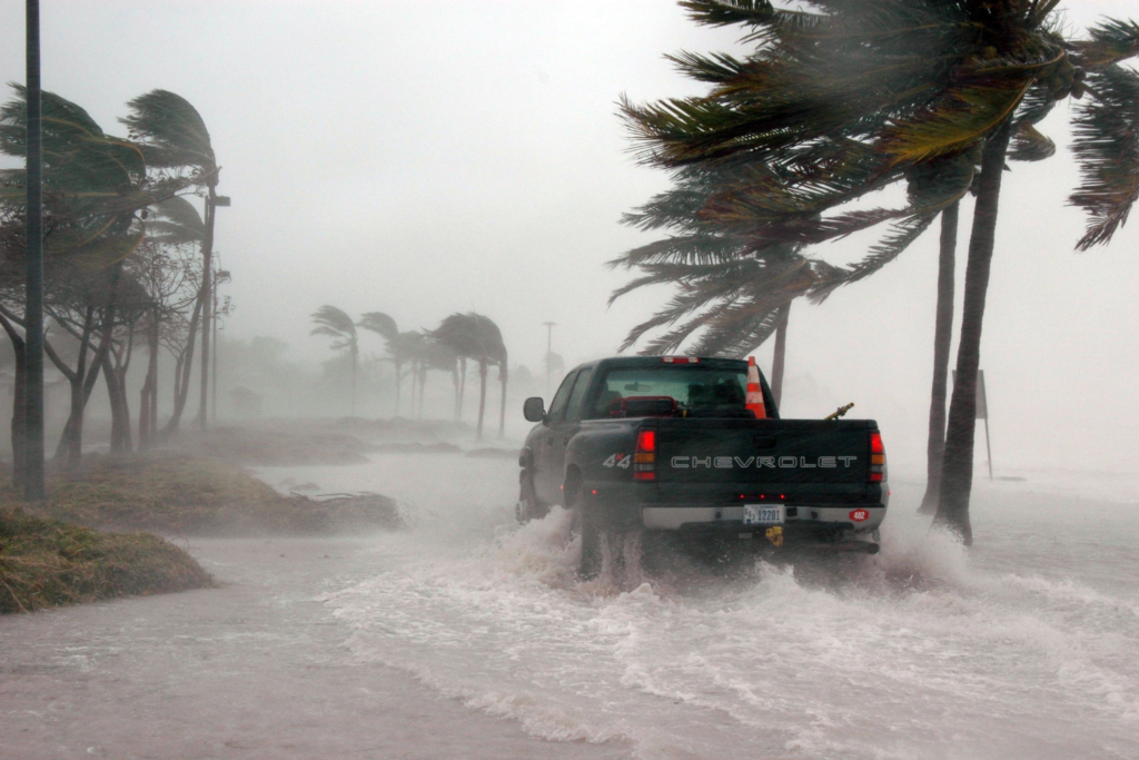
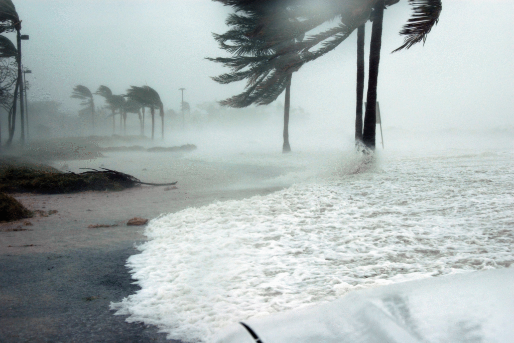
7. Urban development is amplifying storm damage in dangerous ways.

Cities and suburban sprawl create perfect storm scenarios when extreme weather hits. Development patterns over recent decades have paved over natural flood plains and wetlands that once absorbed storm surge and rainfall. Now that water has nowhere to go except into communities.
Nearly 50 million homes sit within an eighth of a mile of coastlines, representing over $1.4 trillion in assets directly in harm’s way. Urban heat islands also intensify local weather patterns, creating microclimates that can make storms even more destructive when they arrive. The combination of more people, more property, and more pavement creates exponentially higher damage potential.
8. Emergency prediction models are struggling to keep pace with rapid changes.
Forecasting has become exponentially more challenging as storms behave in unprecedented ways. Computer models rely on historical data to predict future behavior, but that foundation crumbles when atmospheric conditions have no historical precedent. Meteorologists find themselves extrapolating from incomplete datasets.
Traditional seasonal patterns that guided predictions for decades are dissolving. Storms now form in unexpected locations, intensify at unusual speeds, and follow erratic paths that confound traditional tracking methods. The lag time between scientific understanding and model updates leaves communities vulnerable to surprises that shouldn’t be surprising anymore.
9. Recovery infrastructure is collapsing under repeated storm stress.

Communities barely finish rebuilding from one disaster before the next one arrives. Emergency response systems designed for occasional catastrophes now face relentless pressure from frequent extreme events. Federal disaster relief budgets strain under costs that grow exponentially rather than linearly.
Insurance markets are retreating from high-risk areas, leaving homeowners exposed to financial ruin. Construction crews, emergency equipment, and specialized recovery resources become scarce when multiple disasters strike simultaneously across different regions. The entire recovery ecosystem shows signs of systematic breakdown under unprecedented demand.
10. Climate feedback loops are accelerating storm formation cycles.

Individual storms create conditions that spawn more storms in a vicious cycle. Warmer oceans release more water vapor, which traps more heat, which warms oceans further. Arctic ice loss changes atmospheric circulation patterns, disrupting traditional storm tracks and seasonal timing.
These feedback mechanisms operate on timescales faster than climate models initially predicted. What scientists expected to unfold over decades is happening within years. Each major storm event contributes data points that push projected timelines forward, creating an accelerating curve of intensification.
وی ایزوله ویسلی، پودری با 6 گرم BCAA و 14 گرم EAA در هر سروینگ
است که با روش میکروفیلتراسیون جریان متقاطع تولید میشود.